Based on data in OpenStreetMap, here is a list of townlands in the Electoral Division / ED / District Electoral Division of Killehenny.
Killehenny is in Co.
Killehenny is not matched up to Logainm.ie yet.
Léarscáil
It is located at 52° 30' 23" N, 9° 39' 10" W.
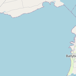
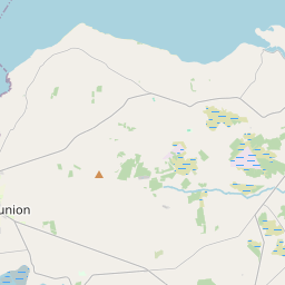
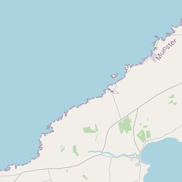
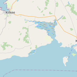
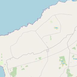
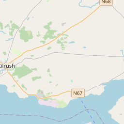
Leaflet | Map data © OpenStreetMap contributors
Achar
Killehenny has an area of 20.2 km² / 4,990.0 acres / 7.8 square miles.
Ceannbhailte
There are 15 townlands that we know about in . This represents 94.0% of all the area in .
- Áth Ime 109 A, 3 R, 2 P
- Ballybunion 369 A, 1 R, 29 P
- Baile Fhiacha 607 A, 3 R, 14 P
- An Bhearna Dhearg 153 A, 3 R, 20 P
- An Dún Thoir 440 A, 3 R, 24 P
- An Dún Thiar 228 A, 2 R, 33 P
- An Dromainn 267 A, 3 R, 21 P
- Fearann Phiarais 504 A, 2 R, 30 P
- Gort na Sceiche 718 A, 2 R, 34 P
- Coimín Ghort na Sceiche 147 A, 2 R, 17 P
- Cill Eithne 245 A, 2 R, 23 P
- Coill Mhothláin 153 A, 3 R, 18 P
- Leathardán 414 A, 0 R, 13 P
- An Múchán 127 A, 2 R, 26 P
- Ráth Thamhnach 201 A, 2 R, 33 P
 OpenStreetMap
Killehenny was added to OpenStreetMap on 7 Ean 2017 by Teester.
- View
- Edit