Based on data in OpenStreetMap, here is a list of townlands in the Electoral Division / ED / District Electoral Division of Cill Maoilchéadair.
Cill Maoilchéadair is in Co.
Cill Maoilchéadair is not matched up to Logainm.ie yet.
Léarscáil
It is located at 52° 11' 10" N, 10° 20' 18" W.
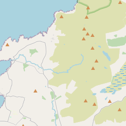
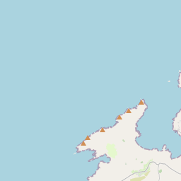
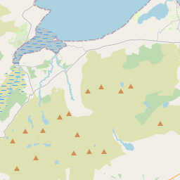
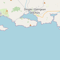

Leaflet | Map data © OpenStreetMap contributors
Achar
Cill Maoilchéadair has an area of 20.3 km² / 5,004.0 acres / 7.8 square miles.
Ceannbhailte
There are 20 townlands that we know about in . This represents 100% of all the area in .
- Arda Mór 133 A, 1 R, 6 P
- An Baile Loiscthe 164 A, 2 R, 16 P
- Baile na nÁith 294 A, 1 R, 8 P
- Cathair Deargáin Thuaidh 218 A, 1 R, 13 P
- Cathair Deargáin Theas 105 A, 3 R, 15 P
- An Charraig 148 A, 2 R, 19 P
- Cathair Scoilbín 320 A, 3 R, 22 P
- An Clochán Dubh 206 A, 3 R, 25 P
- Com Ga 74 A, 1 R, 25 P
- Corr Áille 192 A, 3 R, 21 P
- An tImleach 66 A, 0 R, 31 P
- Gallaras 484 A, 0 R, 7 P
- An Garrán 559 A, 2 R, 15 P
- An Ghlaise Bheag 103 A, 1 R, 20 P
- Cill Chúile 394 A, 0 R, 26 P
- Cill Maoilchéadair 393 A, 3 R, 1 P
- Léim Fhir Léith 265 A, 1 R, 39 P
- An Mhuiríoch 393 A, 3 R, 8 P
- Rinn Chonaill 360 A, 1 R, 2 P
- Ulacha 123 A, 0 R, 27 P
 OpenStreetMap
Cill Maoilchéadair was added to OpenStreetMap on 21 Meith 2016 by Boggedy.
- View
- Edit