Based on data in OpenStreetMap, here is a list of townlands in the Electoral Division / ED / District Electoral Division of Scartaglin.
Scartaglin is in Co.
Scartaglin is not matched up to Logainm.ie yet.
Léarscáil
It is located at 52° 12' 17" N, 9° 22' 34" W.
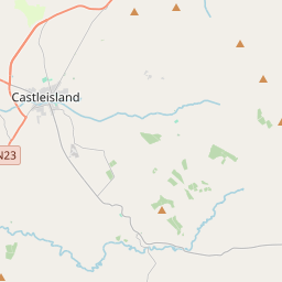
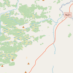
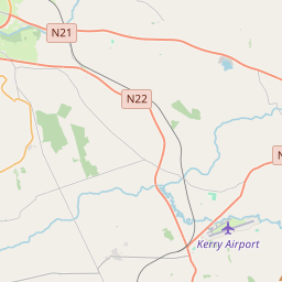
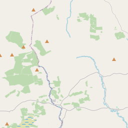
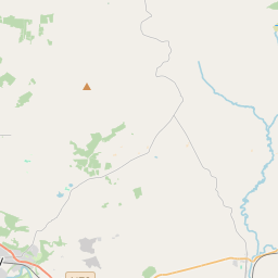
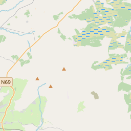
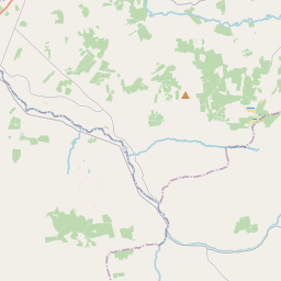
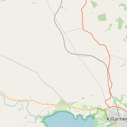
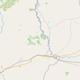
Leaflet | Map data © OpenStreetMap contributors
Achar
Scartaglin has an area of 44.1 km² / 10,904.1 acres / 17.0 square miles.
Ceannbhailte
There are 13 townlands that we know about in . This represents 100% of all the area in .
- Baile na hAille 272 A, 2 R, 34 P
- Bán na Sceiche 509 A, 3 R, 35 P
- Bréachaigh 799 A, 1 R, 13 P
- Cúil na gCaorach 555 A, 3 R, 20 P
- Cordal Thoir 1895 A, 2 R, 8 P
- Cordal Thiar 1210 A, 3 R, 21 P
- Drom Ultáin 682 A, 1 R, 37 P
- Na Foidhrí 404 A, 2 R, 32 P
- Gleann Eoghain 1729 A, 1 R, 8 P
- Gort an Chapaill 218 A, 0 R, 29 P
- An Gort Glas 839 A, 1 R, 36 P
- Cill Chuáin 1037 A, 0 R, 20 P
- Scairteach an Ghlinne 748 A, 2 R, 4 P
 OpenStreetMap
Scartaglin was added to OpenStreetMap on 10 Ean 2017 by Teester.
- View
- Edit