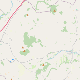
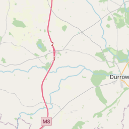
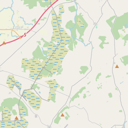
Based on data in OpenStreetMap, here is a list of townlands in the Electoral Division / ED / District Electoral Division of Balleen.
Balleen is in Co.
Balleen is not matched up to Logainm.ie yet.
Léarscáil
It is located at 52° 45' 12" N, 7° 27' 37" W.


Leaflet | Map data © OpenStreetMap contributors
Achar
Balleen has an area of 24.5 km² / 6,059.0 acres / 9.5 square miles.
Ceannbhailte
There are 21 townlands that we know about in . This represents 100% of all the area in .
- Baile Uí Eidhin Beag 16 A, 1 R, 31 P
- Baile Uí Eidhin Íochtarach 592 A, 3 R, 2 P
- An Bán Mór nó Baile Uí Eidhin Uachtarach 145 A, 0 R, 28 P
- Belville 171 A, 0 R, 4 P
- Cúil Chaisín 350 A, 3 R, 24 P
- Críonchoill Bheag 112 A, 0 R, 34 P
- Críonchoill Mhór 248 A, 0 R, 10 P
- An Fhaill Thuaidh 116 A, 3 R, 6 P
- An Fhaill Theas 351 A, 2 R, 30 P
- Baile Uí Chéirín 452 A, 3 R, 6 P
- Garrán na Manach 358 A, 3 R, 34 P
- Gort na Muc 516 A, 3 R, 8 P
- Graigueswood 289 A, 1 R, 23 P
- Cill Ó Siúláin 1182 A, 0 R, 10 P
- An Lóiste 311 A, 1 R, 39 P
- Lodge Demesne East 162 A, 1 R, 10 P
- Lodge Demesne West 118 A, 2 R, 10 P
- An Baile Nua 134 A, 0 R, 36 P
- Cnoc an Spá 203 A, 3 R, 5 P
- Tifeaghna (Browne) 111 A, 0 R, 34 P
- Tinnascarty 112 A, 0 R, 37 P
 OpenStreetMap
Balleen was added to OpenStreetMap on 23 Lún 2016 by Teester.
- View
- Edit

 JOSM
JOSM iD
iD