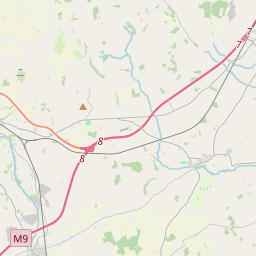
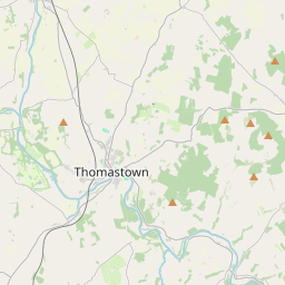
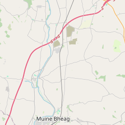
Based on data in OpenStreetMap, here is a list of townlands in the Electoral Division / ED / District Electoral Division of Dunbell.
Dunbell is in Co.
Dunbell is not matched up to Logainm.ie yet.
Léarscáil
It is located at 52° 37' 34" N, 7° 9' 4" W.


Leaflet | Map data © OpenStreetMap contributors
Achar
Dunbell has an area of 23.4 km² / 5,793.7 acres / 9.1 square miles.
Ceannbhailte
There are 24 townlands that we know about in . This represents 100% of all the area in .
- Garrán na Manach 60 A, 0 R, 20 P
- Páirc Anna 82 A, 3 R, 2 P
- Ballynamona 106 A, 3 R, 20 P
- Diméin an Bhlóinsínigh 179 A, 1 R, 35 P
- Blanchvilleskill 131 A, 3 R, 13 P
- Blanchvillestown 503 A, 0 R, 22 P
- An Carann 288 A, 2 R, 11 P
- Clais Liam 218 A, 1 R, 35 P
- Clonoge 44 A, 3 R, 8 P
- Dún Bile Mór 1301 A, 1 R, 3 P
- Dún Bile Beag 35 A, 2 R, 36 P
- An Garrán 103 A, 3 R, 8 P
- Highrath 275 A, 2 R, 9 P
- Baile an Úilínigh 276 A, 3 R, 10 P
- An Chill Bheag 157 A, 0 R, 9 P
- Baile Mhadóg 589 A, 3 R, 24 P
- Ráth Chaise 36 A, 2 R, 5 P
- Ráth Chaise Thoir 199 A, 2 R, 1 P
- Ráth Chaise Bheag 11 A, 2 R, 13 P
- Ráth Chaise Thiar 148 A, 1 R, 7 P
- Ráth Gharbháin 488 A, 3 R, 25 P
- An Pháirc Gharbh 79 A, 0 R, 28 P
- Scart 97 A, 0 R, 39 P
- Baile an Ghabhann 376 A, 0 R, 36 P
 OpenStreetMap
Dunbell was added to OpenStreetMap on 24 Lún 2016 by Teester.
- View
- Edit

 JOSM
JOSM iD
iD