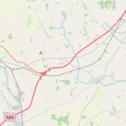
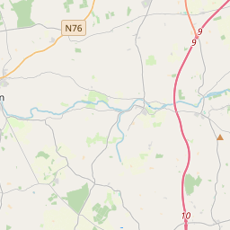
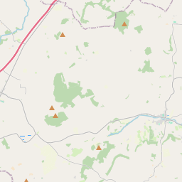
Based on data in OpenStreetMap, here is a list of townlands in the Electoral Division / ED / District Electoral Division of Grange.
Grange is in Co.
Grange is not matched up to Logainm.ie yet.
Léarscáil
It is located at 52° 36' 36" N, 7° 17' 51" W.


Leaflet | Map data © OpenStreetMap contributors
Achar
Grange has an area of 19.2 km² / 4,734.1 acres / 7.4 square miles.
Ceannbhailte
There are 20 townlands that we know about in . This represents 100% of all the area in .
- Aughtanny 170 A, 1 R, 19 P
- Baile an Bhurraigh Íochtarach 271 A, 1 R, 16 P
- Baile an Bhurraigh Uachtarach 394 A, 3 R, 34 P
- An Bán Loiscthe 217 A, 2 R, 19 P
- Brownstown 211 A, 2 R, 23 P
- Castleinch or Inchyolaghan 448 A, 0 R, 0 P
- Cnoc an Teampaill 266 A, 0 R, 17 P
- Derdimus 130 A, 3 R, 25 P
- Garraun 182 A, 2 R, 39 P
- Glebe 52 A, 3 R, 31 P
- Goslingstown 311 A, 1 R, 39 P
- Grange 312 A, 2 R, 25 P
- Gráinseach Chuffe 325 A, 2 R, 16 P
- Cill Mágaid 377 A, 1 R, 19 P
- Knocklegan 60 A, 1 R, 10 P
- Parkmore 161 A, 0 R, 4 P
- Raheenapisha 212 A, 2 R, 16 P
- An Ráithín Dubh 222 A, 2 R, 20 P
- Rathaleek 171 A, 1 R, 8 P
- Woodlands 232 A, 1 R, 18 P
 OpenStreetMap
Grange was added to OpenStreetMap on 24 Lún 2016 by Teester.
- View
- Edit

 JOSM
JOSM iD
iD