Based on data in OpenStreetMap, here is a list of townlands in the Electoral Division / ED / District Electoral Division of Stonyford.
Stonyford is in Co.
Stonyford is not matched up to Logainm.ie yet.
Léarscáil
It is located at 52° 31' 28" N, 7° 13' 2" W.
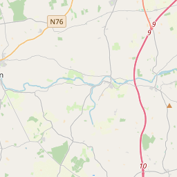
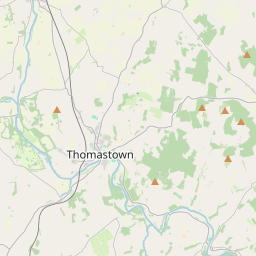

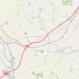
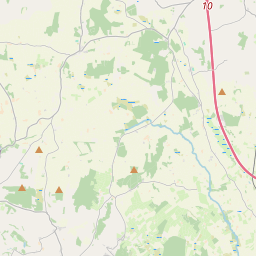
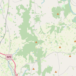

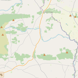
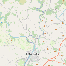
Leaflet | Map data © OpenStreetMap contributors
Achar
Stonyford has an area of 15.9 km² / 3,929.8 acres / 6.1 square miles.
Ceannbhailte
There are 14 townlands that we know about in . This represents 100% of all the area in .
- An Baile Cam 103 A, 0 R, 36 P
- Bán an Mhullaigh Bhuí 21 A, 0 R, 18 P
- Bunreagh 166 A, 0 R, 11 P
- Cnoc Siltín 46 A, 0 R, 9 P
- Cotterellsbooly 977 A, 0 R, 2 P
- Floodhall or Rathtooterny 478 A, 3 R, 30 P
- Glenmore 160 A, 2 R, 30 P
- Knockadrina 321 A, 1 R, 12 P
- Cnoc na Buaile 131 A, 2 R, 29 P
- Oldtown 211 A, 0 R, 39 P
- An Ráth Dhubh 55 A, 1 R, 34 P
- Stún Cárthaigh Thoir 299 A, 3 R, 39 P
- Stún Cárthaigh Thiar 393 A, 1 R, 34 P
- Waltonsgrove or Mountjuliet 563 A, 2 R, 5 P
 OpenStreetMap
Stonyford was added to OpenStreetMap on 25 Lún 2016 by Teester.
- View
- Edit