Based on data in OpenStreetMap, here is a list of townlands in the Electoral Division / ED / District Electoral Division of Tullaghought.
Tullaghought is in Co.
Tullaghought is not matched up to Logainm.ie yet.
Léarscáil
It is located at 52° 24' 57" N, 7° 21' 14" W.
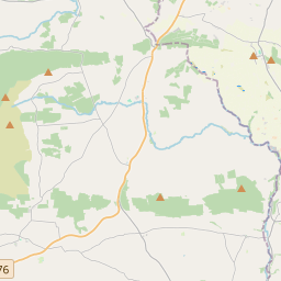
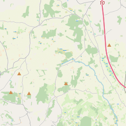
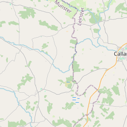
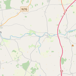
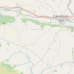
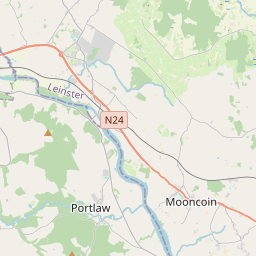
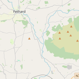
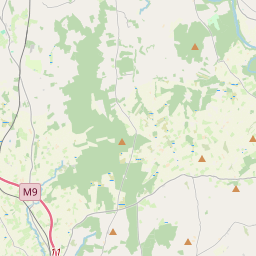

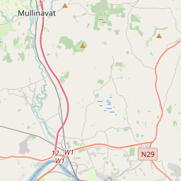
Leaflet | Map data © OpenStreetMap contributors
Achar
Tullaghought has an area of 13.6 km² / 3,359.1 acres / 5.2 square miles.
Ceannbhailte
There are 14 townlands that we know about in . This represents 100% of all the area in .
- Baile na Laighneach 529 A, 2 R, 38 P
- Bán Fraoigh 235 A, 1 R, 36 P
- Coill Bheithe 177 A, 2 R, 26 P
- Bréagán 243 A, 1 R, 7 P
- An Carragán (Morris) 146 A, 1 R, 0 P
- An Carragán (Reade) 59 A, 0 R, 9 P
- An Currach Mór 586 A, 3 R, 6 P
- Currach na dTiompán 167 A, 0 R, 28 P
- Gleann Comáin 227 A, 2 R, 8 P
- Coill Mhic Oiliféara 347 A, 0 R, 20 P
- An Cnoicín 142 A, 1 R, 5 P
- An Cnoc Glas 27 A, 3 R, 7 P
- Poll Ruáin 254 A, 2 R, 17 P
- Tullaghought 214 A, 0 R, 38 P
 OpenStreetMap
Tullaghought was added to OpenStreetMap on 25 Lún 2016 by Teester.
- View
- Edit