Based on data in OpenStreetMap, here is a list of townlands in the Electoral Division / ED / District Electoral Division of Dunmore.
Dunmore is in Co.
Dunmore is not matched up to Logainm.ie yet.
Léarscáil
It is located at 52° 52' 25" N, 7° 23' 29" W.
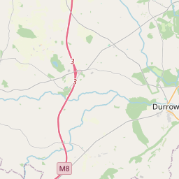
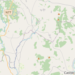
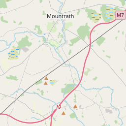
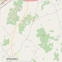
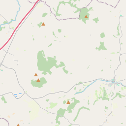

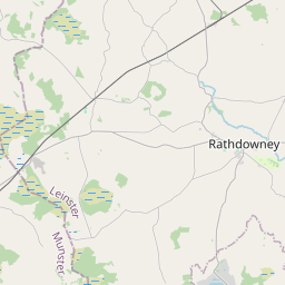
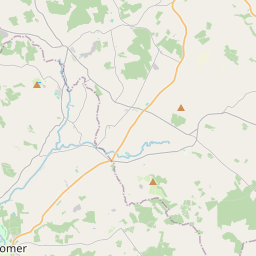
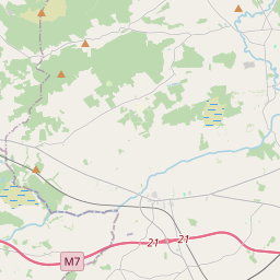
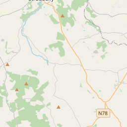
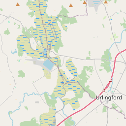

Leaflet | Map data © OpenStreetMap contributors
Achar
Dunmore has an area of 10.4 km² / 2,572.0 acres / 4.0 square miles.
Ceannbhailte
There are 12 townlands that we know about in . This represents 100% of all the area in .
- Páirc an Bhagóidigh 120 A, 0 R, 30 P
- Cúil Chairbre 70 A, 0 R, 31 P
- An Dún Mór 737 A, 2 R, 33 P
- Coill an Ghrásaigh 197 A, 3 R, 30 P
- Cill Bhaile an Tallúnaigh 438 A, 3 R, 35 P
- An Choill Bheag 309 A, 2 R, 8 P
- Loch na Muc 5 A, 0 R, 23 P
- An Pháirc Bhán 73 A, 0 R, 13 P
- An Ráth 215 A, 2 R, 7 P
- Garrán an Stíobhardaigh 132 A, 0 R, 1 P
- Swan 79 A, 0 R, 21 P
- Caisleán an Uisce 192 A, 1 R, 34 P
 OpenStreetMap
Dunmore was added to OpenStreetMap on 16 Márta 2015 by Teester.
- View
- Edit