Based on data in OpenStreetMap, here is a list of townlands in the Electoral Division / ED / District Electoral Division of Kilcoke.
Kilcoke is in Co.
Kilcoke is not matched up to Logainm.ie yet.
Léarscáil
It is located at 52° 54' 0" N, 7° 34' 48" W.
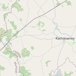
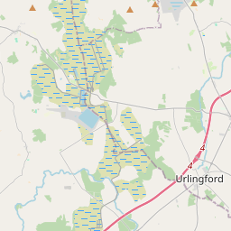
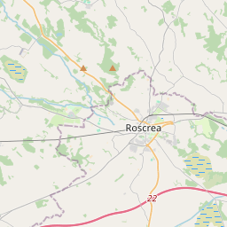

Leaflet | Map data © OpenStreetMap contributors
Achar
Kilcoke has an area of 10.9 km² / 2,689.3 acres / 4.2 square miles.
Ceannbhailte
There are 12 townlands that we know about in . This represents 100% of all the area in .
- Baile Raighleáin 261 A, 3 R, 38 P
- Baile Amhlaoibh 266 A, 1 R, 39 P
- Baile Amhlaoibh Thuaidh 4 A, 1 R, 35 P
- Cluain Boireann 38 A, 1 R, 4 P
- Cluain Boireann (White) 204 A, 1 R, 4 P
- An Chúil Fhionn 6 A, 1 R, 1 P
- Fearann na gCosán 108 A, 3 R, 7 P
- An Ghráinseach Mhór 470 A, 3 R, 17 P
- Cill Chóca 639 A, 3 R, 38 P
- Coill Phuirséid 338 A, 2 R, 0 P
- An Lios Mór 181 A, 2 R, 25 P
- Tigh na Cloiche 167 A, 2 R, 33 P
 OpenStreetMap
Kilcoke was added to OpenStreetMap on 9 Márta 2015 by Teester.
- View
- Edit