Based on data in OpenStreetMap, here is a list of townlands in the Electoral Division / ED / District Electoral Division of Kiltyclogher.
Kiltyclogher is in Co.
Kiltyclogher is not matched up to Logainm.ie yet.
Léarscáil
It is located at 54° 20' 4" N, 8° 3' 33" W.
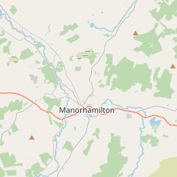
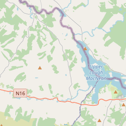
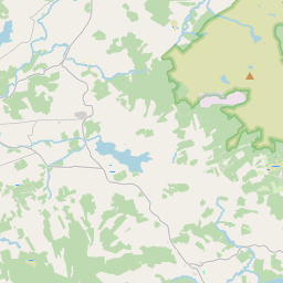
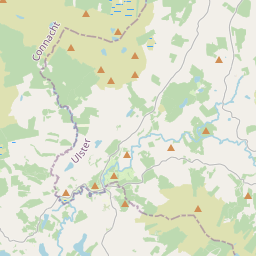
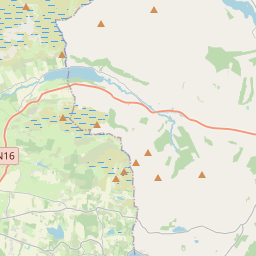
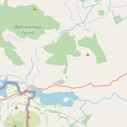
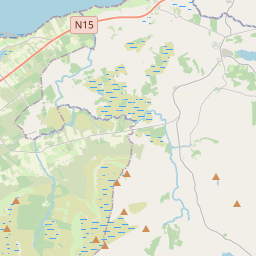
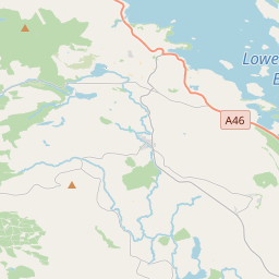
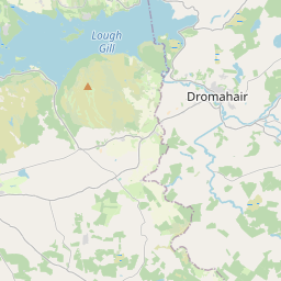
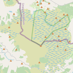
Leaflet | Map data © OpenStreetMap contributors
Achar
Kiltyclogher has an area of 31.7 km² / 7,821.0 acres / 12.2 square miles.
Ceannbhailte
There are 13 townlands that we know about in . This represents 99.8% of all the area in .
- Achadh an Mhanaigh 490 A, 2 R, 20 P
- An Bhuaile Bhuí 1625 A, 0 R, 0 P
- An Corrán 281 A, 3 R, 0 P
- Caiseal an Mhíle 303 A, 2 R, 38 P
- Léim an Eachaí 137 A, 2 R, 31 P
- Currach Chluana 744 A, 3 R, 20 P
- An Gleann Caol 316 A, 0 R, 25 P
- An Choill Léith 682 A, 3 R, 28 P
- Coillte Clochair 1750 A, 2 R, 14 P
- Log an tSneachta 563 A, 3 R, 4 P
- Srath Dubhthaigh 258 A, 2 R, 9 P
- Tulaigh an tSagairt 108 A, 2 R, 36 P
- Tulaigh an tSlua 543 A, 3 R, 4 P
 OpenStreetMap
Kiltyclogher was added to OpenStreetMap on 4 Samh 2015 by NoelB.
- View
- Edit