Based on data in OpenStreetMap, here is a list of townlands in the Electoral Division / ED / District Electoral Division of Caherconlish East.
Caherconlish East is in Co.
Caherconlish East is not matched up to Logainm.ie yet.
Léarscáil
It is located at 52° 35' 52" N, 8° 24' 50" W.
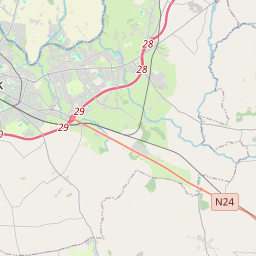
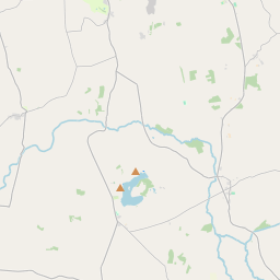
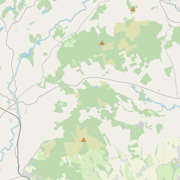
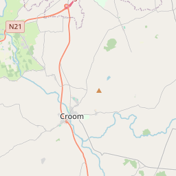
Leaflet | Map data © OpenStreetMap contributors
Achar
Caherconlish East has an area of 19.9 km² / 4,919.8 acres / 7.7 square miles.
Ceannbhailte
There are 19 townlands that we know about in . This represents 100% of all the area in .
- Baile Adaim 229 A, 3 R, 14 P
- Baile Airt 324 A, 3 R, 14 P
- An Bóthar Gearr 280 A, 2 R, 1 P
- Caisleán Oircín Thuaidh 267 A, 0 R, 10 P
- Caisleán Oircín Theas 250 A, 0 R, 15 P
- Currach na bPoll 82 A, 2 R, 27 P
- Drombane 277 A, 0 R, 27 P
- Eidhean 537 A, 2 R, 30 P
- Gorteenaskagh 293 A, 2 R, 18 P
- An Ghráinseach Thoir 216 A, 3 R, 12 P
- An Ghráinseach Thiar 157 A, 2 R, 4 P
- Cill an Iúir 341 A, 2 R, 24 P
- Cnoc Fhinn 109 A, 3 R, 18 P
- Baile an Lombardaigh 197 A, 0 R, 2 P
- Maigh 207 A, 2 R, 38 P
- Mountsion 174 A, 3 R, 4 P
- An Phailís Bheag 491 A, 3 R, 25 P
- Toinn an Tairbh 320 A, 2 R, 4 P
- Feirm na Coille 158 A, 1 R, 37 P
 OpenStreetMap
Caherconlish East was added to OpenStreetMap on 20 Noll 2016 by Teester.
- View
- Edit