Based on data in OpenStreetMap, here is a list of townlands in the Electoral Division / ED / District Electoral Division of Cahercorney.
Cahercorney is in Co.
Cahercorney is not matched up to Logainm.ie yet.
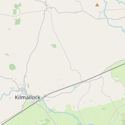
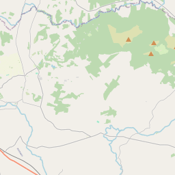
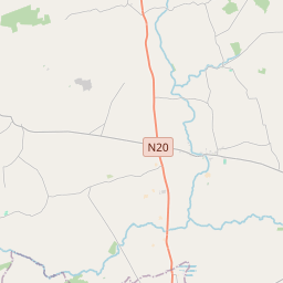
Léarscáil
It is located at 52° 31' 12" N, 8° 28' 51" W.
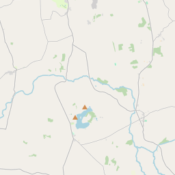
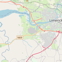
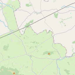
Leaflet | Map data © OpenStreetMap contributors
Achar
Cahercorney has an area of 17.8 km² / 4,405.9 acres / 6.9 square miles.
Ceannbhailte
There are 13 townlands that we know about in . This represents 100% of all the area in .
- Baile an Aird 512 A, 3 R, 10 P
- Baile an Ghúlaigh 390 A, 2 R, 8 P
- Ballinscoola 291 A, 2 R, 24 P
- Baile Londáis 314 A, 1 R, 38 P
- Cathair Choirne 717 A, 2 R, 14 P
- Cloch an Bhiolair 346 A, 3 R, 9 P
- Gort na Sceiche 77 A, 2 R, 1 P
- Baile Hiobaird (O'Grady) 163 A, 1 R, 8 P
- Baile Hiobaird (Powell) 164 A, 0 R, 13 P
- Cill Chathláin 727 A, 0 R, 9 P
- An Múchán 165 A, 3 R, 14 P
- Baile an Ráiléigh 258 A, 0 R, 39 P
- Rootlagh 275 A, 3 R, 29 P
 OpenStreetMap
Cahercorney was added to OpenStreetMap on 21 Noll 2016 by Teester.
- View
- Edit