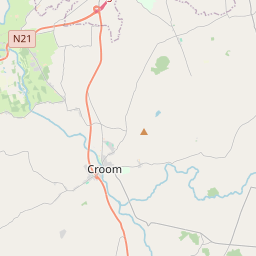
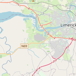
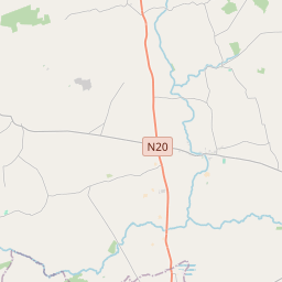
Based on data in OpenStreetMap, here is a list of townlands in the Electoral Division / ED / District Electoral Division of Craobh Chomhartha.
Craobh Chomhartha is in Co.
Craobh Chomhartha is not matched up to Logainm.ie yet.
Léarscáil
It is located at 52° 34' 34" N, 8° 41' 24" W.


Leaflet | Map data © OpenStreetMap contributors
Achar
Craobh Chomhartha has an area of 13.2 km² / 3,251.0 acres / 5.1 square miles.
Ceannbhailte
There are 19 townlands that we know about in . This represents 100% of all the area in .
- Baile an Róistigh Thoir 115 A, 2 R, 32 P
- Baile an Róistigh Thuaidh 120 A, 0 R, 25 P
- Baile an Bhialaigh 354 A, 2 R, 34 P
- Ballygriffin 104 A, 1 R, 21 P
- Ballylusky 25 A, 1 R, 17 P
- Ballylusky 143 A, 2 R, 24 P
- Baile Uí Mhurchú 122 A, 0 R, 38 P
- Baile Mhílis 159 A, 0 R, 1 P
- An Dúinín 375 A, 3 R, 15 P
- An Dúinín Uachtarach 60 A, 0 R, 37 P
- Fortetna 171 A, 1 R, 15 P
- An Ghléib 29 A, 1 R, 7 P
- An Ghráig 300 A, 2 R, 19 P
- Leaca an Mheantáin 265 A, 2 R, 19 P
- Killonahan 320 A, 3 R, 36 P
- Log an Mhainséir 132 A, 0 R, 19 P
- Tigh Richmond 137 A, 0 R, 34 P
- An tSeanchloch 201 A, 2 R, 3 P
- An Tóin Bhán 110 A, 3 R, 36 P
 OpenStreetMap
Craobh Chomhartha was added to OpenStreetMap on 21 Noll 2016 by Teester.
- View
- Edit

 JOSM
JOSM iD
iD