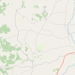
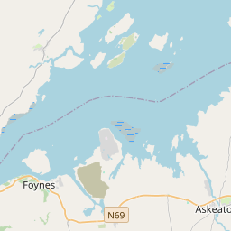
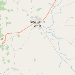
Based on data in OpenStreetMap, here is a list of townlands in the Electoral Division / ED / District Electoral Division of Dunmoylan East.
Dunmoylan East is in Co.
Dunmoylan East is not matched up to Logainm.ie yet.
Léarscáil
It is located at 52° 32' 5" N, 9° 5' 19" W.


Leaflet | Map data © OpenStreetMap contributors
Achar
Dunmoylan East has an area of 21.5 km² / 5,311.8 acres / 8.3 square miles.
Ceannbhailte
There are 21 townlands that we know about in . This represents 100% of all the area in .
- Ballydoorlis 141 A, 0 R, 38 P
- Baile Éignigh 167 A, 1 R, 11 P
- Baile Éignigh Beag 115 A, 0 R, 7 P
- Baile Éignigh Mór 237 A, 0 R, 11 P
- Baile Uí Chadhla 84 A, 0 R, 32 P
- Baile Uí Mhic Thíre 94 A, 3 R, 30 P
- Baile Uístín 222 A, 1 R, 30 P
- Boughilbo 501 A, 1 R, 29 P
- Ceatharnach 368 A, 1 R, 39 P
- Carrons 317 A, 2 R, 15 P
- An Corrbhaile 162 A, 0 R, 38 P
- Dún Catha 698 A, 0 R, 15 P
- Dunmoylan 629 A, 1 R, 4 P
- Gleann Daibhchín 200 A, 2 R, 14 P
- Grouselodge 358 A, 3 R, 34 P
- Kilcolman 135 A, 0 R, 4 P
- Cill Choscráin 179 A, 2 R, 26 P
- Knockbweeheen 301 A, 2 R, 34 P
- Lios Cordáin 217 A, 2 R, 11 P
- Ráth Bheara 101 A, 2 R, 29 P
- Tír Mhór 77 A, 0 R, 20 P
 OpenStreetMap
Dunmoylan East was added to OpenStreetMap on 5 Ean 2017 by Teester.
- View
- Edit

 JOSM
JOSM iD
iD