Based on data in OpenStreetMap, here is a list of townlands in the Electoral Division / ED / District Electoral Division of Iveruss.
Iveruss is in Co.
Iveruss is not matched up to Logainm.ie yet.
Léarscáil
It is located at 52° 38' 18" N, 8° 57' 42" W.
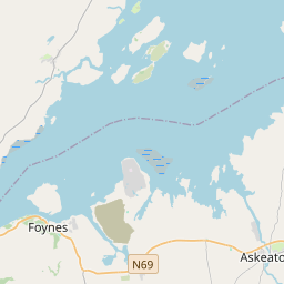
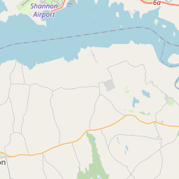
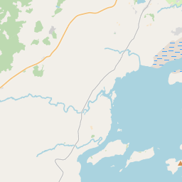
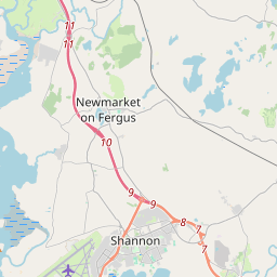
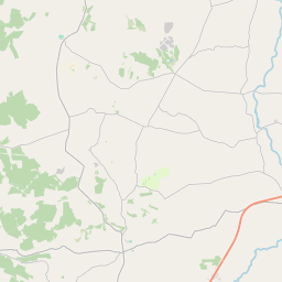
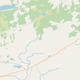
Leaflet | Map data © OpenStreetMap contributors
Achar
Iveruss has an area of 21.8 km² / 5,392.0 acres / 8.4 square miles.
Ceannbhailte
There are 13 townlands that we know about in . This represents 68.6% of all the area in .
- Baile an Bhóthair 371 A, 3 R, 12 P
- Baile an Chanánaigh 273 A, 2 R, 0 P
- Baile an Naisigh 71 A, 2 R, 4 P
- Baile Ó nDúrtaigh 757 A, 1 R, 14 P
- Baile Stiabhna 317 A, 1 R, 30 P
- Baile Mhadóg 117 A, 0 R, 1 P
- Baile Mhadóg 72 A, 1 R, 25 P
- Cúirt an Bhrúnaigh 598 A, 2 R, 5 P
- Gallmhaigh 84 A, 0 R, 20 P
- Easán 124 A, 0 R, 24 P
- Baile an Mhistéalaigh 130 A, 0 R, 9 P
- Moirneán 747 A, 3 R, 10 P
- Baile Radharc na Sionainne 35 A, 2 R, 18 P
 OpenStreetMap
Iveruss was added to OpenStreetMap on 30 Noll 2016 by Teester.
- View
- Edit