Based on data in OpenStreetMap, here is a list of townlands in Cill Bhríde Bheag.
Cill Bhríde Bheag is in the baronies of Cois Máighe.
Cill Bhríde Bheag is in the counties of Contae Luimnigh.
Cill Bhríde Bheag is on Logainm.ie: Cill Bhríde Bheag.
Léarscáil
It is located at 52° 23' 5" N, 8° 37' 27" W.
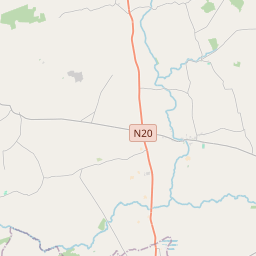
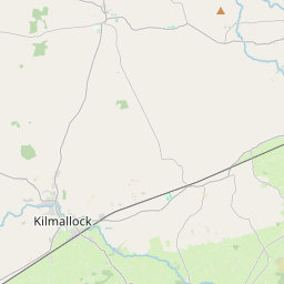
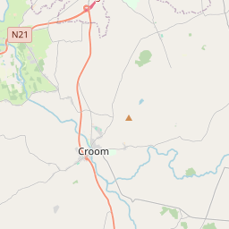
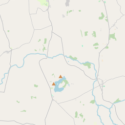
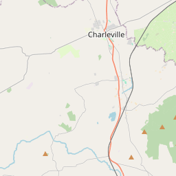
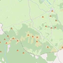
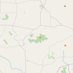
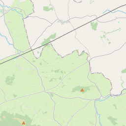
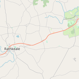
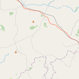
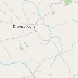
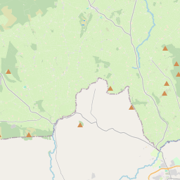
Leaflet | Map data © OpenStreetMap contributors
Achar
Cill Bhríde Bheag has an area of 8.5 km² / 2,093.9 acres / 3.3 square miles.
Ceannbhailte
There are 5 townlands that we know about in Cill Bhríde Bheag. This represents 100% of all the area in Cill Bhríde Bheag.
- Cloonlogue, Cill Bhríde Bheag Paróiste Sibhialta, Barúntacht Cois Máighe, Co. Contae Luimnigh 176 A, 3 R, 37 P
- East Kilbreedy (see Kilbreedy East, Cill Bhríde Bheag Paróiste Sibhialta, Barúntacht Cois Máighe, Co. Contae Luimnigh)
- Kilbreedy East, Cill Bhríde Bheag Paróiste Sibhialta, Barúntacht Cois Máighe, Co. Contae Luimnigh 369 A, 3 R, 27 P
- Mountblakeney, Cill Bhríde Bheag Paróiste Sibhialta, Barúntacht Cois Máighe, Co. Contae Luimnigh 561 A, 1 R, 7 P
- Thomastown, Cill Bhríde Bheag Paróiste Sibhialta, Barúntacht Cois Máighe, Co. Contae Luimnigh 939 A, 3 R, 1 P
- Tobernea, Cill Bhríde Bheag Paróiste Sibhialta, Barúntacht Cois Máighe, Co. Contae Luimnigh 45 A, 3 R, 35 P
 OpenStreetMap
Cill Bhríde Bheag was added to OpenStreetMap on 7 Iúil 2016 by SK53.
- View
- Edit