Based on data in OpenStreetMap, here is a list of townlands in the Electoral Division / ED / District Electoral Division of Knockaderry.
Knockaderry is in Co.
Knockaderry is not matched up to Logainm.ie yet.
Léarscáil
It is located at 52° 27' 34" N, 8° 59' 23" W.
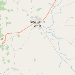
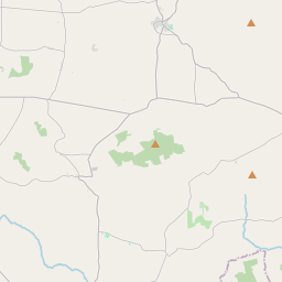
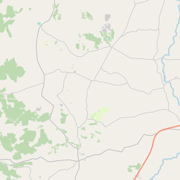
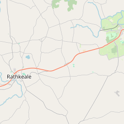
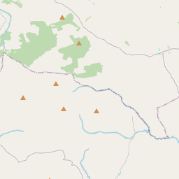
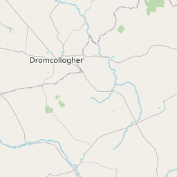
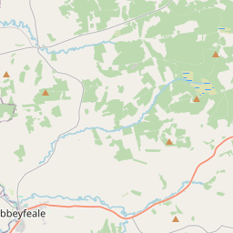
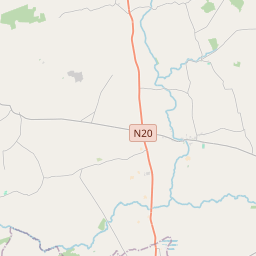
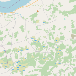
Leaflet | Map data © OpenStreetMap contributors
Achar
Knockaderry has an area of 15.0 km² / 3,712.4 acres / 5.8 square miles.
Ceannbhailte
There are 13 townlands that we know about in . This represents 100% of all the area in .
- Ard Draighin 331 A, 2 R, 11 P
- Baile Mhuirisín 125 A, 2 R, 16 P
- Baile na Coille Beag 149 A, 0 R, 12 P
- An Cheathrú Ghearr 127 A, 1 R, 2 P
- Uíbh Gallchú 213 A, 1 R, 18 P
- An Ghráinseach Íochtarach 309 A, 0 R, 29 P
- An Ghráinseach Uachtarach 261 A, 3 R, 23 P
- Cill tSeanaigh 370 A, 3 R, 31 P
- Cnoc an Doire 705 A, 2 R, 4 P
- Lios an Uisce Thoir 329 A, 0 R, 35 P
- Lios an Uisce Thiar 290 A, 2 R, 4 P
- Ráth Bhroíle 268 A, 1 R, 25 P
- Baile an Bhreatnaigh 229 A, 3 R, 14 P
 OpenStreetMap
Knockaderry was added to OpenStreetMap on 5 Ean 2017 by Teester.
- View
- Edit