Based on data in OpenStreetMap, here is a list of townlands in the Electoral Division / ED / District Electoral Division of Knocklong.
Knocklong is in Co.
Knocklong is not matched up to Logainm.ie yet.
Léarscáil
It is located at 52° 26' 2" N, 8° 24' 15" W.
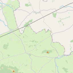
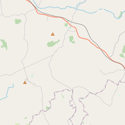
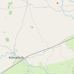
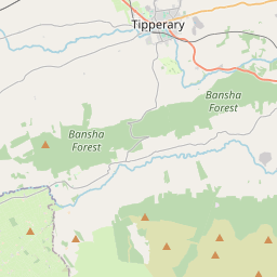
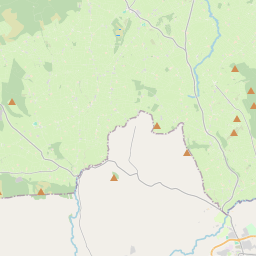
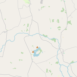
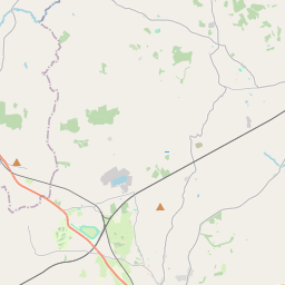
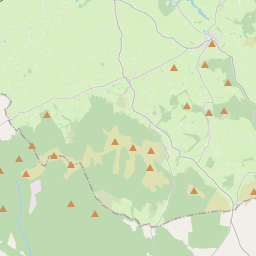
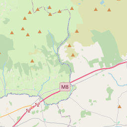
Leaflet | Map data © OpenStreetMap contributors
Achar
Knocklong has an area of 18.8 km² / 4,635.4 acres / 7.2 square miles.
Ceannbhailte
There are 13 townlands that we know about in . This represents 100% of all the area in .
- Ardmore 41 A, 2 R, 11 P
- Baile an Charrúnaigh 612 A, 3 R, 10 P
- An Ghráinseach 330 A, 1 R, 39 P
- Baile Ámainn 69 A, 0 R, 14 P
- An tOileán Dromach 107 A, 3 R, 35 P
- Kilrush 801 A, 3 R, 28 P
- Cnoc Loinge 112 A, 3 R, 37 P
- Cnoc Loinge Thoir 556 A, 2 R, 6 P
- Cnoc Loinge Thiar 700 A, 2 R, 4 P
- Raheen 269 A, 2 R, 34 P
- Ráithín an Mhadra 396 A, 1 R, 21 P
- Ryvescastle 389 A, 3 R, 36 P
- Scarteen 245 A, 1 R, 29 P
 OpenStreetMap
Knocklong was added to OpenStreetMap on 21 Noll 2016 by Teester.
- View
- Edit