Based on data in OpenStreetMap, here is a list of townlands in the Electoral Division / ED / District Electoral Division of Limerick North.
Limerick North is in Co.
Limerick North is not matched up to Logainm.ie yet.
Léarscáil
It is located at 52° 40' 22" N, 8° 40' 3" W.
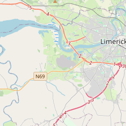
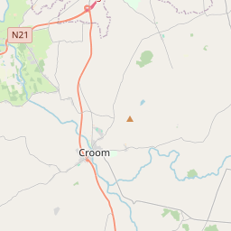
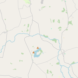
Leaflet | Map data © OpenStreetMap contributors
Achar
Limerick North has an area of 12.4 km² / 3,058.6 acres / 4.8 square miles.
Ceannbhailte
There are 16 townlands that we know about in . This represents 100% of all the area in .
- Ballygrennan 310 A, 2 R, 22 P
- Ballynanty Beg 68 A, 2 R, 1 P
- Ballynanty More 121 A, 0 R, 31 P
- Caherdavin 122 A, 0 R, 32 P
- Clonconane 301 A, 1 R, 5 P
- Clondrinagh 331 A, 0 R, 32 P
- Coolraine 201 A, 1 R, 33 P
- Coonagh East 274 A, 2 R, 38 P
- Coonagh West 564 A, 3 R, 20 P
- Farranshone More 74 A, 0 R, 13 P
- Farranshone More 176 A, 0 R, 23 P
- Kilrush 69 A, 0 R, 7 P
- Knock 84 A, 2 R, 3 P
- Monabraher 141 A, 3 R, 24 P
- Moylish 73 A, 2 R, 17 P
- Shannabooly 143 A, 0 R, 22 P
 OpenStreetMap
Limerick North was added to OpenStreetMap on 8 Aib 2021 by b-unicycling.
- View
- Edit