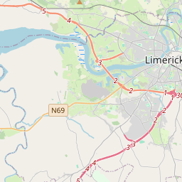
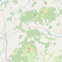
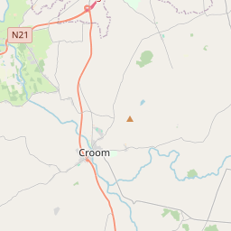
Based on data in OpenStreetMap, here is a list of townlands in the Electoral Division / ED / District Electoral Division of Roxborough.
Roxborough is in Co.
Roxborough is not matched up to Logainm.ie yet.
Léarscáil
It is located at 52° 36' 22" N, 8° 37' 22" W.


Leaflet | Map data © OpenStreetMap contributors
Achar
Roxborough has an area of 24.1 km² / 5,945.7 acres / 9.3 square miles.
Ceannbhailte
There are 18 townlands that we know about in . This represents 95.9% of all the area in .
- Eanach an Róistigh 315 A, 0 R, 20 P
- Baile na Cloiche 362 A, 3 R, 23 P
- Ballysheedy West 122 A, 2 R, 25 P
- Cathair an Bhachlaigh 60 A, 2 R, 29 P
- Doire Beag 151 A, 3 R, 1 P
- Doire an Chnocáin 352 A, 2 R, 26 P
- Baile na mBráthar 417 A, 2 R, 22 P
- Cnoc na Buaile Glaise 571 A, 0 R, 19 P
- Léim an Fhia 434 A, 1 R, 1 P
- Leic an Dúin 671 A, 2 R, 5 P
- Lissanalty 239 A, 3 R, 28 P
- Fearann an Choirce 113 A, 1 R, 32 P
- An Pháirc Rua 241 A, 2 R, 7 P
- An Ráithín 364 A, 1 R, 10 P
- Roolagh 179 A, 3 R, 0 P
- Ruaiteach 343 A, 1 R, 33 P
- Baile an Róistigh 530 A, 3 R, 9 P
- Toberyquin 230 A, 0 R, 6 P
 OpenStreetMap
Roxborough was added to OpenStreetMap on 21 Noll 2016 by Teester.
- View
- Edit

 JOSM
JOSM iD
iD