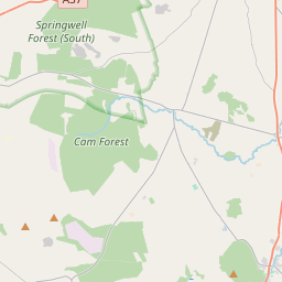
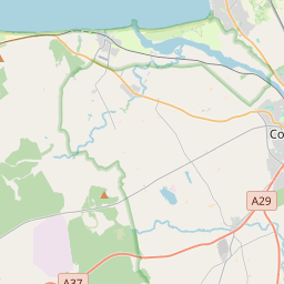
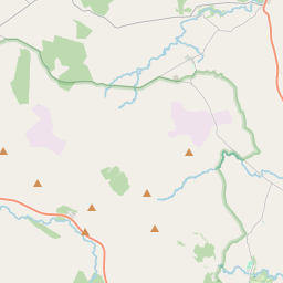
Based on data in OpenStreetMap, here is a list of townlands in the Electoral Division / ED / District Electoral Division of Aghadowney.
Aghadowney is in Co.
Aghadowney is not matched up to Logainm.ie yet.
Léarscáil
It is located at 55° 1' 54" N, 6° 40' 12" W.


Leaflet | Map data © OpenStreetMap contributors
Achar
Aghadowney has an area of 24.4 km² / 6,019.2 acres / 9.4 square miles.
Ceannbhailte
There are 25 townlands that we know about in . This represents 100% of all the area in .
- Achadh Dubhthaigh 443 A, 1 R, 7 P
- Ard-Riabhach 193 A, 3 R, 10 P
- Baile-an-righ 179 A, 1 R, 29 P
- Baile-Breatnach 383 A, 3 R, 5 P
- Baile-Mhic-Daibhidh 224 A, 0 R, 33 P
- Baile-Mhic-Amhalghadha 274 A, 1 R, 29 P
- Baile-na-Cailleach 574 A, 3 R, 4 P
- Baile-na-Cailleach 486 A, 2 R, 9 P
- Baile-Mhuilinn 108 A, 2 R, 30 P
- Ceathramh na Ralach 206 A, 2 R, 8 P
- Craobha-liatha 253 A, 0 R, 38 P
- Craobh Liath 312 A, 1 R, 34 P
- Doire na gCros 116 A, 3 R, 33 P
- Druim-na-Chro 159 A, 0 R, 20 P
- Guaire-an 320 A, 3 R, 26 P
- Caoile 120 A, 2 R, 29 P
- Coill Uí Chiaragáin 312 A, 0 R, 16 P
- Lios Buidhe 117 A, 3 R, 10 P
- Lios na Muc 305 A, 3 R, 4 P
- Baile-Meadhonach 10 A, 2 R, 3 P
- Muine Uí Bhranáin 179 A, 0 R, 2 P
- Móin na Caraidh 147 A, 0 R, 25 P
- Móin na Caraidh 153 A, 2 R, 17 P
- An Mullán 231 A, 0 R, 13 P
- Suí Guaire 203 A, 0 R, 28 P
 OpenStreetMap
Aghadowney was added to OpenStreetMap on 5 Márta 2021 by b-unicycling.
- View
- Edit

 JOSM
JOSM iD
iD