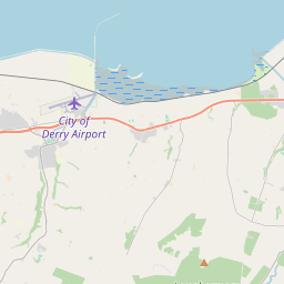
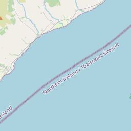
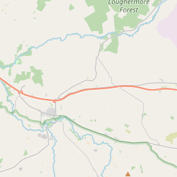
Based on data in OpenStreetMap, here is a list of townlands in the Electoral Division / ED / District Electoral Division of Ballykelly.
Ballykelly is in Co.
Ballykelly is not matched up to Logainm.ie yet.
Léarscáil
It is located at 55° 1' 17" N, 7° 2' 6" W.


Leaflet | Map data © OpenStreetMap contributors
Achar
Ballykelly has an area of 36.9 km² / 9,124.0 acres / 14.3 square miles.
Ceannbhailte
There are 21 townlands that we know about in . This represents 100% of all the area in .
- Baile-Caoin 169 A, 2 R, 3 P
- Baile Uí Cheallaigh 377 A, 0 R, 30 P
- Ballykelly Level (Intake) 1004 A, 3 R, 8 P
- Baile-Ui-Spealláin 233 A, 2 R, 34 P
- Bru-fheargusa 238 A, 1 R, 29 P
- Druim-na-carnach 211 A, 1 R, 10 P
- Druim-a-Cainnech 92 A, 1 R, 29 P
- Dromainn 159 A, 3 R, 11 P
- Dun-broc 1019 A, 2 R, 29 P
- Glac 1549 A, 0 R, 7 P
- Glas-bheith 78 A, 2 R, 39 P
- Glebe 252 A, 0 R, 13 P
- Luchair-mor 1367 A, 1 R, 26 P
- Mul-caerach 352 A, 1 R, 13 P
- Nead 373 A, 0 R, 31 P
- Eóchaill 65 A, 1 R, 23 P
- Seisreach Chaol 679 A, 3 R, 30 P
- Tulaigh 117 A, 0 R, 20 P
- Tulaigh-na-h-uamha 58 A, 0 R, 5 P
- Walworth 348 A, 0 R, 17 P
- Walworth 375 A, 2 R, 28 P
 OpenStreetMap
Ballykelly was added to OpenStreetMap on 5 Márta 2021 by b-unicycling.
- View
- Edit

 JOSM
JOSM iD
iD