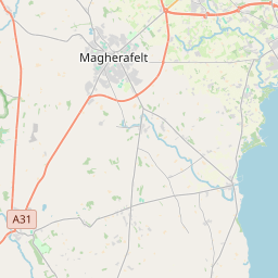
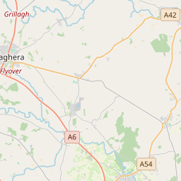
Based on data in OpenStreetMap, here is a list of townlands in the Electoral Division / ED / District Electoral Division of Ballymoghan.
Ballymoghan is in Co.
Ballymoghan is not matched up to Logainm.ie yet.
Léarscáil
It is located at 54° 43' 50" N, 6° 38' 1" W.


Leaflet | Map data © OpenStreetMap contributors
Achar
Ballymoghan has an area of 19.9 km² / 4,915.8 acres / 7.7 square miles.
Ceannbhailte
There are 14 townlands that we know about in . This represents 100% of all the area in .
- Baile Cam Learga 186 A, 3 R, 14 P
- Baile-ui-Mochain 407 A, 1 R, 6 P
- Baile-ui-Mochain 503 A, 3 R, 37 P
- Baile-mic-giolla-Sheanaigh 208 A, 1 R, 2 P
- Cuil-sionnaigh 311 A, 3 R, 8 P
- Dun-Arnain 264 A, 0 R, 3 P
- Dún Rónáin 420 A, 0 R, 34 P
- Gort-na-giolla 364 A, 0 R, 35 P
- Coill-a-bhogain 301 A, 2 R, 28 P
- Coill-fada 671 A, 2 R, 21 P
- Magh-charraigeach 442 A, 0 R, 36 P
- Magh-mac-giolla-Muire 298 A, 3 R, 32 P
- Ros Iúir 216 A, 1 R, 35 P
- Tamhnach-Dubhthaig 318 A, 0 R, 31 P
 OpenStreetMap
Ballymoghan was added to OpenStreetMap on 5 Márta 2021 by b-unicycling.
- View
- Edit

 JOSM
JOSM iD
iD