Based on data in OpenStreetMap, here is a list of townlands in the Electoral Division / ED / District Electoral Division of Bellarena.
Bellarena is in Co.
Bellarena is not matched up to Logainm.ie yet.
Léarscáil
It is located at 55° 7' 43" N, 6° 56' 38" W.
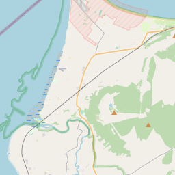
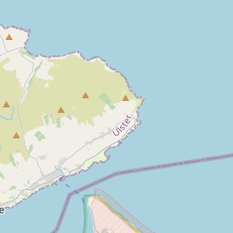
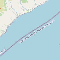
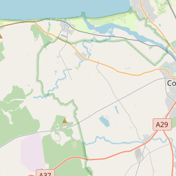
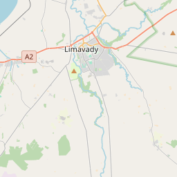
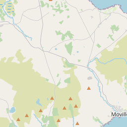
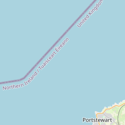
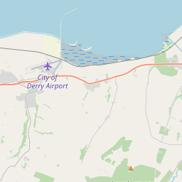
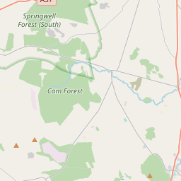
Leaflet | Map data © OpenStreetMap contributors
Achar
Bellarena has an area of 22.0 km² / 5,426.0 acres / 8.5 square miles.
Ceannbhailte
There are 20 townlands that we know about in . This represents 100% of all the area in .
- Baile-ui-maol-Challain 356 A, 0 R, 35 P
- Baile-ui-maol-Tomair 331 A, 0 R, 26 P
- Baile Uí Scoillín 292 A, 1 R, 29 P
- Baile an Mhargaidh 209 A, 3 R, 17 P
- Ceathramha-riabhach 106 A, 0 R, 21 P
- Claigeann 145 A, 3 R, 20 P
- Druim-a-bhealaig 164 A, 0 R, 30 P
- Druim-na-h-aithe 261 A, 1 R, 10 P
- Dún Cruithean 578 A, 2 R, 24 P
- Glebe 32 A, 2 R, 3 P
- Gort 5 A, 0 R, 39 P
- Leana-mor 168 A, 2 R, 36 P
- Baile-ui-Laeghaire 516 A, 2 R, 24 P
- Margadh Uí Mhanacháin 235 A, 2 R, 38 P
- Baile an Mhuilinn 156 A, 0 R, 12 P
- Muine-Airneadh 169 A, 1 R, 10 P
- Ochtach-mael 251 A, 1 R, 2 P
- Baile Ui h'Annaidh 434 A, 3 R, 33 P
- Taimhleacht 283 A, 2 R, 12 P
- Baile-ui-Laeghaire 726 A, 0 R, 9 P
 OpenStreetMap
Bellarena was added to OpenStreetMap on 5 Márta 2021 by b-unicycling.
- View
- Edit