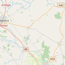
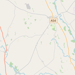
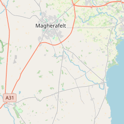
Based on data in OpenStreetMap, here is a list of townlands in the Electoral Division / ED / District Electoral Division of Desertmartin.
Desertmartin is in Co.
Desertmartin is not matched up to Logainm.ie yet.
Léarscáil
It is located at 54° 46' 52" N, 6° 38' 33" W.


Leaflet | Map data © OpenStreetMap contributors
Achar
Desertmartin has an area of 18.8 km² / 4,657.0 acres / 7.3 square miles.
Ceannbhailte
There are 14 townlands that we know about in . This represents 100% of all the area in .
- Eanach agus Muinister-ui-Fhlainn 410 A, 0 R, 2 P
- Baile-mac-Fheargusa 166 A, 2 R, 2 P
- Baile-na-g-cananach 194 A, 1 R, 32 P
- Corr 221 A, 2 R, 8 P
- Curraín 541 A, 2 R, 14 P
- Dromore 325 A, 0 R, 21 P
- Gleann-magh-cuill 157 A, 1 R, 27 P
- Grainseach 649 A, 2 R, 22 P
- Cnoc-na-gceann 109 A, 3 R, 29 P
- Leamhnach 381 A, 0 R, 1 P
- Mota-laoic 344 A, 0 R, 6 P
- Ros-garran 251 A, 1 R, 19 P
- Sráth na garda 172 A, 3 R, 9 P
- Tiobraid 731 A, 1 R, 34 P
 OpenStreetMap
Desertmartin was added to OpenStreetMap on 5 Márta 2021 by b-unicycling.
- View
- Edit

 JOSM
JOSM iD
iD