Based on data in OpenStreetMap, here is a list of townlands in the Electoral Division / ED / District Electoral Division of Downhill.
Downhill is in Co.
Downhill is not matched up to Logainm.ie yet.
Léarscáil
It is located at 55° 8' 10" N, 6° 49' 31" W.
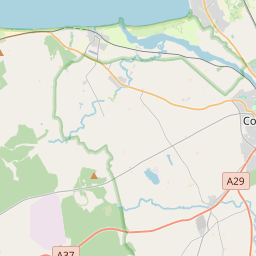
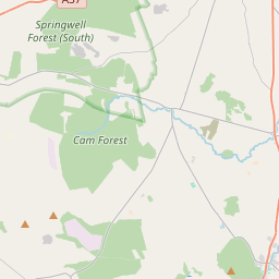
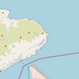
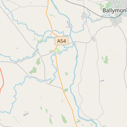
Leaflet | Map data © OpenStreetMap contributors
Achar
Downhill has an area of 25.9 km² / 6,408.2 acres / 10.0 square miles.
Ceannbhailte
There are 20 townlands that we know about in . This represents 100% of all the area in .
- Alt-tigh-braen 1147 A, 2 R, 1 P
- Alt-a-caerach 1060 A, 1 R, 6 P
- Baile-o-h-icidhe 393 A, 3 R, 21 P
- Lios-a-mhuileann 492 A, 1 R, 1 P
- Magh-ui-Oillagain 367 A, 1 R, 4 P
- Tobar-cladh 95 A, 1 R, 27 P
- Baile-ui-Madagain 67 A, 2 R, 6 P
- Baile-raidheogh 129 A, 3 R, 7 P
- Beann-na-riach 308 A, 2 R, 38 P
- Big Glebe 185 A, 3 R, 37 P
- Breach-baile 421 A, 1 R, 1 P
- Boireann Bheag 255 A, 3 R, 34 P
- Boireann Mor 254 A, 1 R, 30 P
- Dún Bó 362 A, 0 R, 34 P
- Druim-an-guale 244 A, 0 R, 0 P
- Freehall Dunlop 181 A, 3 R, 9 P
- Freehall Watson 68 A, 1 R, 9 P
- Hunter's Glebe 196 A, 2 R, 31 P
- Little Glebe 92 A, 0 R, 31 P
- Long's Glebe 82 A, 2 R, 17 P
 OpenStreetMap
Downhill was added to OpenStreetMap on 5 Márta 2021 by b-unicycling.
- View
- Edit