Based on data in OpenStreetMap, here is a list of townlands in the Electoral Division / ED / District Electoral Division of Drumcroon.
Drumcroon is in Co.
Drumcroon is not matched up to Logainm.ie yet.
Léarscáil
It is located at 55° 4' 33" N, 6° 41' 34" W.
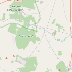
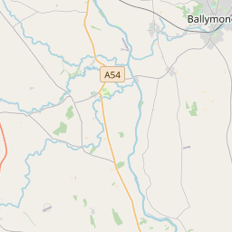
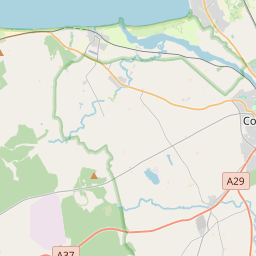
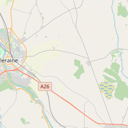
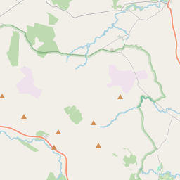
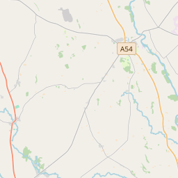
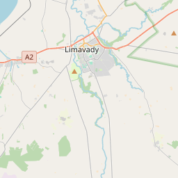
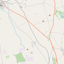
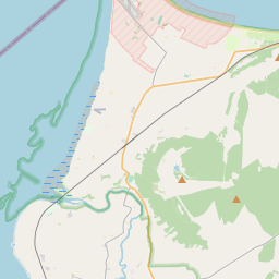
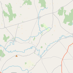
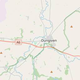
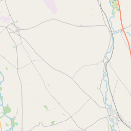
Leaflet | Map data © OpenStreetMap contributors
Achar
Drumcroon has an area of 22.8 km² / 5,645.7 acres / 8.8 square miles.
Ceannbhailte
There are 25 townlands that we know about in . This represents 100% of all the area in .
- Ard-bhearnas 376 A, 3 R, 21 P
- Baile-Ui-Cathain 281 A, 3 R, 26 P
- Baile-Cloch 267 A, 0 R, 24 P
- An Baile Linnteach 126 A, 3 R, 21 P
- An Baile Linnteach 123 A, 0 R, 27 P
- Baile-beannachadh 364 A, 2 R, 16 P
- Baile Uilliam 222 A, 1 R, 34 P
- Camas-magh-cosgain 58 A, 0 R, 7 P
- Cluainteach 372 A, 2 R, 2 P
- Collins 279 A, 0 R, 13 P
- Cros Cinn leith 151 A, 1 R, 3 P
- An Chros Ghearr 168 A, 1 R, 10 P
- Cul-druim 251 A, 0 R, 22 P
- Cul-druim 43 A, 3 R, 9 P
- Doire Dorcha 271 A, 3 R, 3 P
- Druim Mór 274 A, 3 R, 1 P
- Droim Cruithean 456 A, 2 R, 38 P
- Dun-dearg 246 A, 2 R, 35 P
- Fearann-saer 99 A, 1 R, 23 P
- Coill-liag 215 A, 1 R, 29 P
- Cill-iubhar 202 A, 0 R, 33 P
- Cenel-n-glaisne 319 A, 1 R, 31 P
- Leath-ardán 105 A, 3 R, 19 P
- Magh-laeghaire 345 A, 2 R, 38 P
- Maigh Choscáin 20 A, 1 R, 8 P
 OpenStreetMap
Drumcroon was added to OpenStreetMap on 5 Márta 2021 by b-unicycling.
- View
- Edit