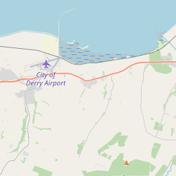
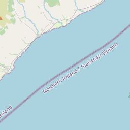
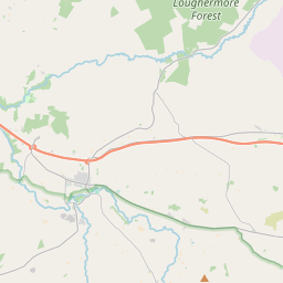
Based on data in OpenStreetMap, here is a list of townlands in the Electoral Division / ED / District Electoral Division of Faughanvale.
Faughanvale is in Co.
Faughanvale is not matched up to Logainm.ie yet.
Léarscáil
It is located at 55° 0' 55" N, 7° 6' 0" W.


Leaflet | Map data © OpenStreetMap contributors
Achar
Faughanvale has an area of 34.3 km² / 8,480.5 acres / 13.3 square miles.
Ceannbhailte
There are 21 townlands that we know about in . This represents 100.0% of all the area in .
- Barr-na-coille 75 A, 0 R, 35 P
- Buaile 823 A, 2 R, 11 P
- Carn-na-maghe 1083 A, 0 R, 31 P
- Carraig-Aedha 181 A, 3 R, 22 P
- Cúlach 417 A, 2 R, 5 P
- Cuaille-cian-achta 77 A, 3 R, 3 P
- Dun-g-Chulainn 280 A, 0 R, 26 P
- Dun-leithaid 342 A, 0 R, 6 P
- An Fhuachonbháil 224 A, 2 R, 12 P
- Glais-a-caerthainn 600 A, 1 R, 30 P
- Glebe 417 A, 2 R, 3 P
- Gort-gearr 280 A, 1 R, 2 P
- Glas-stiall 390 A, 2 R, 28 P
- Glas-stiall 191 A, 1 R, 28 P
- Coille-leathain 579 A, 1 R, 29 P
- Coille-ghuail 1493 A, 1 R, 31 P
- Machaire-mor 91 A, 3 R, 18 P
- Min-ui-Gallacobhair 277 A, 2 R, 6 P
- Tír Mhic Eochaidh 274 A, 1 R, 8 P
- Tulaig-Maighin 82 A, 0 R, 32 P
- Tulaig-daire 295 A, 1 R, 29 P
 OpenStreetMap
Faughanvale was added to OpenStreetMap on 5 Márta 2021 by b-unicycling.
- View
- Edit

 JOSM
JOSM iD
iD