Based on data in OpenStreetMap, here is a list of townlands in the Electoral Division / ED / District Electoral Division of Glendermot.
Glendermot is in Co.
Glendermot is not matched up to Logainm.ie yet.
Léarscáil
It is located at 54° 56' 41" N, 7° 20' 9" W.
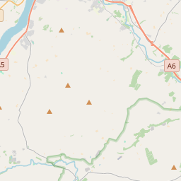
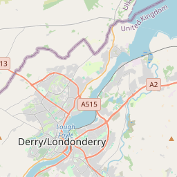
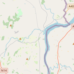
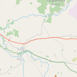
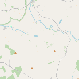
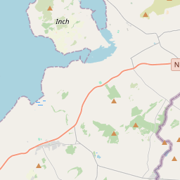
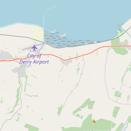
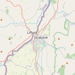
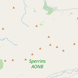
Leaflet | Map data © OpenStreetMap contributors
Achar
Glendermot has an area of 29.6 km² / 7,319.7 acres / 11.4 square miles.
Ceannbhailte
There are 31 townlands that we know about in . This represents 100% of all the area in .
- Baile-odhair 131 A, 2 R, 11 P
- Bogach 169 A, 3 R, 8 P
- Buaile 161 A, 0 R, 27 P
- Breac-kilns 189 A, 2 R, 6 P
- Carn-na-fearna 344 A, 1 R, 30 P
- Clampar-nua 97 A, 2 R, 8 P
- Cor-ruide 197 A, 0 R, 13 P
- Craigtown 243 A, 2 R, 23 P
- Craobh-Domhnaill 353 A, 0 R, 31 P
- Curraigh-fraoigh 622 A, 0 R, 1 P
- Diseart-abhainn 195 A, 0 R, 28 P
- Druim-a-ghabhair 218 A, 3 R, 35 P
- Druim Conáin 156 A, 2 R, 32 P
- Dún Aodha 144 A, 0 R, 2 P
- Gleann-oir-dha-amhainn 133 A, 3 R, 23 P
- Gort-greanach 348 A, 2 R, 21 P
- Gortin 243 A, 0 R, 25 P
- Gort-an-iubhair 177 A, 1 R, 34 P
- Cloch-oir 183 A, 0 R, 14 P
- Coill-na-mallaght 575 A, 0 R, 26 P
- An Céideadh Bán 208 A, 1 R, 36 P
- Lios-glas 554 A, 0 R, 25 P
- Tulach 198 A, 0 R, 21 P
- Maighaire-Cananach 129 A, 3 R, 20 P
- Críoch Chéin 227 A, 0 R, 27 P
- Baile-freamhadhaig 184 A, 3 R, 0 P
- Ros-na-g-cailleach 205 A, 1 R, 25 P
- Teach-na-rioghna 120 A, 1 R, 32 P
- Tir-ui-Caomhanaig 223 A, 0 R, 19 P
- Tulach 162 A, 0 R, 10 P
- Iorball Sionnaigh 219 A, 3 R, 2 P
 OpenStreetMap
Glendermot was added to OpenStreetMap on 5 Márta 2021 by b-unicycling.
- View
- Edit