Based on data in OpenStreetMap, here is a list of townlands in the Electoral Division / ED / District Electoral Division of Liberties Lower.
Liberties Lower is in Co.
Liberties Lower is not matched up to Logainm.ie yet.
Léarscáil
It is located at 55° 1' 46" N, 7° 19' 49" W.
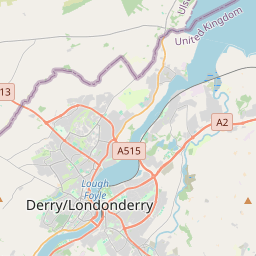
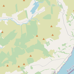
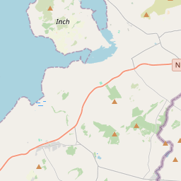
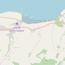
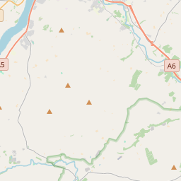
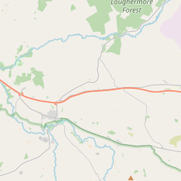
Leaflet | Map data © OpenStreetMap contributors
Achar
Liberties Lower has an area of 32.6 km² / 8,056.7 acres / 12.6 square miles.
Ceannbhailte
There are 14 townlands that we know about in . This represents 100% of all the area in .
- Baile-Arnoid 607 A, 2 R, 16 P
- Baile Mhic Robhartaigh 656 A, 1 R, 31 P
- Baile na gCailleach 641 A, 2 R, 0 P
- Baile-na-garda 447 A, 0 R, 0 P
- Baile na Saileog 598 A, 2 R, 23 P
- Coish-caeine 827 A, 0 R, 26 P
- An Chúil Mhór 709 A, 3 R, 24 P
- An Chúil Mhór 108 A, 3 R, 11 P
- Aileach-mor 513 A, 1 R, 22 P
- Shean-talamh 1188 A, 2 R, 38 P
- Sherriffs Mountain 407 A, 3 R, 1 P
- Spring Hill 55 A, 1 R, 31 P
- Springtown 219 A, 2 R, 2 P
- Baile Mhic Robhartaigh 1074 A, 2 R, 35 P
 OpenStreetMap
Liberties Lower was added to OpenStreetMap on 5 Márta 2021 by b-unicycling.
- View
- Edit