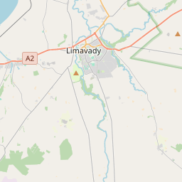
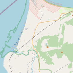
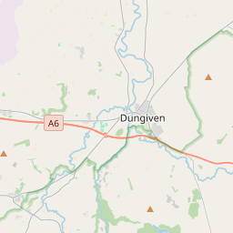
Based on data in OpenStreetMap, here is a list of townlands in the Electoral Division / ED / District Electoral Division of Lislane.
Lislane is in Co.
Lislane is not matched up to Logainm.ie yet.
Léarscáil
It is located at 55° 0' 9" N, 6° 50' 41" W.


Leaflet | Map data © OpenStreetMap contributors
Achar
Lislane has an area of 33.4 km² / 8,264.0 acres / 12.9 square miles.
Ceannbhailte
There are 19 townlands that we know about in . This represents 100% of all the area in .
- Achadh na Saileach 535 A, 0 R, 37 P
- Clochan 584 A, 3 R, 0 P
- Druim-ui-Chosgraig 181 A, 1 R, 21 P
- Druim-mic-Chabhanaigh 236 A, 1 R, 22 P
- Druim-mic-Chabhanaigh 226 A, 3 R, 16 P
- Drim sorn 255 A, 0 R, 12 P
- Drim sorn 688 A, 2 R, 27 P
- Gort-n-airneadh 571 A, 0 R, 14 P
- Cill-Chomhghaill 523 A, 1 R, 13 P
- Lios Leathan 153 A, 0 R, 16 P
- Doire 503 A, 0 R, 20 P
- Maighin 419 A, 0 R, 4 P
- Maighin 223 A, 1 R, 34 P
- Muine-g-chuigead 1017 A, 3 R, 15 P
- Smuilgeadan 503 A, 1 R, 7 P
- Tigh-meadhoin 501 A, 1 R, 19 P
- Tir-na-muc 200 A, 2 R, 15 P
- Doire Dubh 456 A, 3 R, 18 P
- Doire Dubh 482 A, 1 R, 33 P
 OpenStreetMap
Lislane was added to OpenStreetMap on 6 Márta 2021 by b-unicycling.
- View
- Edit

 JOSM
JOSM iD
iD