Based on data in OpenStreetMap, here is a list of townlands in the Electoral Division / ED / District Electoral Division of Swatragh.
Swatragh is in Co.
Swatragh is not matched up to Logainm.ie yet.
Léarscáil
It is located at 54° 54' 0" N, 6° 40' 36" W.
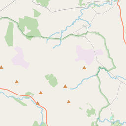
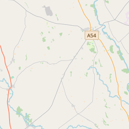
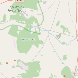
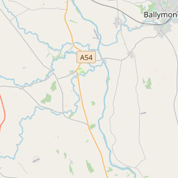
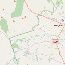
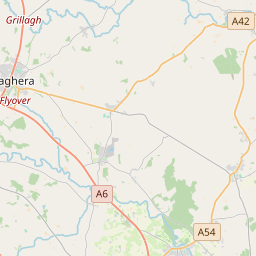
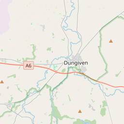
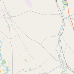
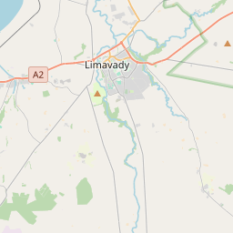
Leaflet | Map data © OpenStreetMap contributors
Achar
Swatragh has an area of 38.3 km² / 9,459.7 acres / 14.8 square miles.
Ceannbhailte
There are 15 townlands that we know about in . This represents 100% of all the area in .
- Beitheach 299 A, 3 R, 26 P
- Cor-leacaigh 1322 A, 1 R, 27 P
- Cúil na gCraobh 593 A, 1 R, 31 P
- Dun-cloitighe 539 A, 3 R, 35 P
- Gort-eada 486 A, 3 R, 22 P
- Granaghan 620 A, 3 R, 10 P
- Céide 406 A, 3 R, 22 P
- Cnoc Uí Néill 1714 A, 1 R, 32 P
- Meacanach 495 A, 0 R, 0 P
- Muine Searbhán 376 A, 1 R, 14 P
- An Suaitreach 387 A, 0 R, 23 P
- Tir-gairbhéil 435 A, 1 R, 0 P
- Tír Aodha 798 A, 0 R, 25 P
- Tir-na-g-caerach 410 A, 0 R, 29 P
- Áth an Phoirt Leathain 572 A, 3 R, 0 P
 OpenStreetMap
Swatragh was added to OpenStreetMap on 6 Márta 2021 by b-unicycling.
- View
- Edit