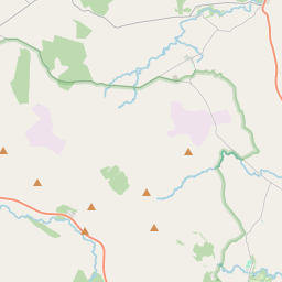
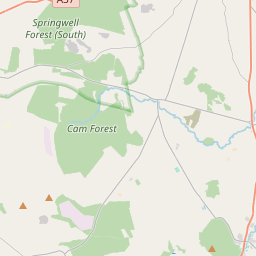
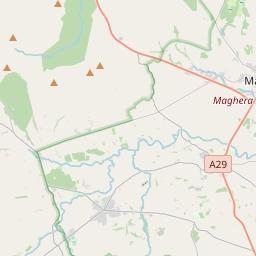
Based on data in OpenStreetMap, here is a list of townlands in the Electoral Division / ED / District Electoral Division of The Grove.
The Grove is in Co.
The Grove is not matched up to Logainm.ie yet.
Léarscáil
It is located at 54° 56' 2" N, 6° 39' 8" W.


Leaflet | Map data © OpenStreetMap contributors
Achar
The Grove has an area of 26.3 km² / 6,504.6 acres / 10.2 square miles.
Ceannbhailte
There are 14 townlands that we know about in . This represents 100% of all the area in .
- Baile Ui Duileacháin 472 A, 1 R, 0 P
- Baile Léime 228 A, 0 R, 36 P
- Baile-meadhonach 261 A, 2 R, 14 P
- Baile-an-Abhainn 535 A, 2 R, 25 P
- Carr-baile-an-tobar 288 A, 3 R, 33 P
- Creig an Ghuail 327 A, 0 R, 37 P
- Cros-lann 382 A, 0 R, 6 P
- Dubh Lathach 523 A, 2 R, 37 P
- Laithreach 509 A, 1 R, 4 P
- Lios an Chrainn 459 A, 3 R, 14 P
- Lios-mael 924 A, 3 R, 35 P
- Maol Iochtrach Tuaithe 566 A, 0 R, 24 P
- Tamhnach Uí Rancáin 425 A, 0 R, 0 P
- Taob-mac-Connaige 599 A, 2 R, 22 P
 OpenStreetMap
The Grove was added to OpenStreetMap on 6 Márta 2021 by b-unicycling.
- View
- Edit

 JOSM
JOSM iD
iD