Based on data in OpenStreetMap, here is a list of townlands in the Electoral Division / ED / District Electoral Division of Agharra.
Agharra is in Co.
Agharra is not matched up to Logainm.ie yet.
Léarscáil
It is located at 53° 35' 54" N, 7° 38' 34" W.
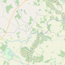
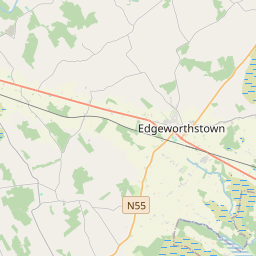
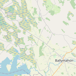
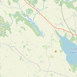
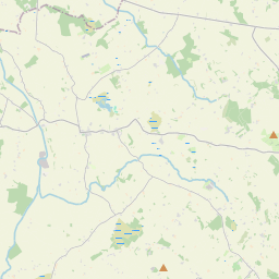
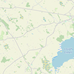
Leaflet | Map data © OpenStreetMap contributors
Achar
Agharra has an area of 19.0 km² / 4,688.4 acres / 7.3 square miles.
Ceannbhailte
There are 14 townlands that we know about in . This represents 100% of all the area in .
- Mainistir Shruthla 766 A, 2 R, 17 P
- Eachara 445 A, 0 R, 5 P
- Ard Anraidh 547 A, 2 R, 16 P
- An Claí Dubh 270 A, 0 R, 5 P
- Cluain Briain 442 A, 2 R, 2 P
- Corr an Choirce 151 A, 2 R, 33 P
- Droim an Iúir 419 A, 3 R, 13 P
- An Coillín Buí 203 A, 0 R, 19 P
- An Liagán 278 A, 2 R, 37 P
- Lios an Mharfa 341 A, 3 R, 34 P
- Ráth Airne 323 A, 1 R, 2 P
- Ráth Salach 190 A, 2 R, 2 P
- An Tulaigh 206 A, 3 R, 19 P
- Tinne Chlabacháin 100 A, 2 R, 20 P
 OpenStreetMap
Agharra was added to OpenStreetMap on 17 Iúil 2013 by PaddyMatthews.
- View
- Edit