Based on data in OpenStreetMap, here is a list of townlands in the Electoral Division / ED / District Electoral Division of Corboy.
Corboy is in Co.
Corboy is not matched up to Logainm.ie yet.
Léarscáil
It is located at 53° 42' 43" N, 7° 42' 12" W.
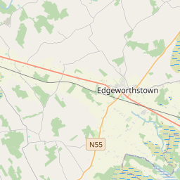
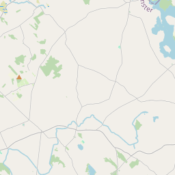
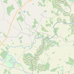
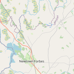
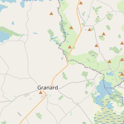
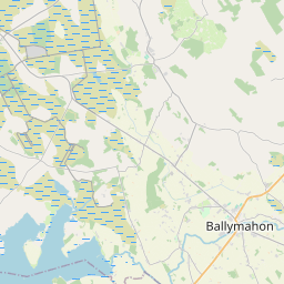
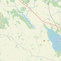
Leaflet | Map data © OpenStreetMap contributors
Achar
Corboy has an area of 20.9 km² / 5,153.2 acres / 8.1 square miles.
Ceannbhailte
There are 22 townlands that we know about in . This represents 100% of all the area in .
- Achadh na gCaorach 179 A, 2 R, 22 P
- Achadh na hAbhna 130 A, 3 R, 29 P
- Achadh Riocaird 93 A, 1 R, 16 P
- Achadh na Caillí 34 A, 3 R, 17 P
- An Baile Garbh 463 A, 2 R, 18 P
- Baile Mhic Liam 119 A, 1 R, 12 P
- Baile na gCosánach 265 A, 1 R, 37 P
- Cartrún an Bhairr 283 A, 0 R, 15 P
- An Cartrún Mór 180 A, 3 R, 13 P
- An Cartrún Beag 117 A, 3 R, 7 P
- Cluanach Ard 367 A, 2 R, 27 P
- Cluain Cosmhaigh 153 A, 3 R, 24 P
- An Chorr Bhuí 921 A, 1 R, 22 P
- An Chraobh 319 A, 2 R, 14 P
- Fiodh Chalmáin 119 A, 3 R, 21 P
- Cillín Lasrach 94 A, 3 R, 5 P
- Lios Uí Fhearaíl 319 A, 3 R, 34 P
- Liosach an Éadain 198 A, 2 R, 28 P
- Lios Ard Abhla 154 A, 2 R, 8 P
- An Seanbhaile 326 A, 1 R, 14 P
- An Tuar Fionn 113 A, 3 R, 25 P
- Traoil 193 A, 2 R, 10 P
 OpenStreetMap
Corboy was added to OpenStreetMap on 12 Iúil 2013 by PaddyMatthews.
- View
- Edit