Data Completeness
| Contae | Townlands (excl water) | Townlands (incl water) | Barúntacht | Paróistí Sibhíalta | ||||
| Contae an Longfoirt | 100% | 95.77% | 100% | 100% | ||||
Area Coverage
Land & Water not covered by Townlands
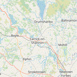
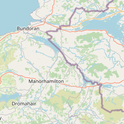
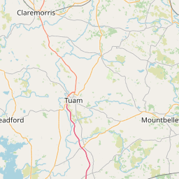
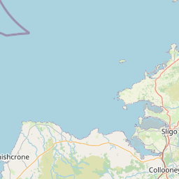

Leaflet | Map data © OpenStreetMap contributors
How long will Contae an Longfoirt take to be mapped?
Land covered by 2 (or more) Townlands
No townlands overlap in Contae an Longfoirt in the OpenStreetMap database.
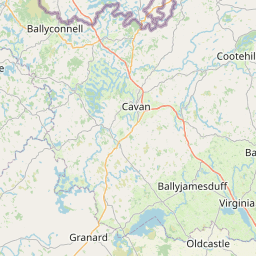
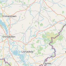
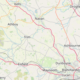
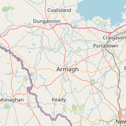
Land & Water not covered by Electoral Divisions
Leaflet | Map data © OpenStreetMap contributors
Land covered by 2 (or more) Electoral Divisions
No EDs overlap in Contae an Longfoirt in the OpenStreetMap database.
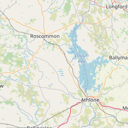
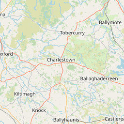
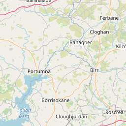
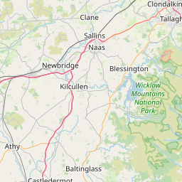
Land not covered by Civil Parishes
Leaflet | Map data © OpenStreetMap contributors
Land covered by 2 (or more) Civil Parishes
No civil parishes overlap in Contae an Longfoirt in the OpenStreetMap database.
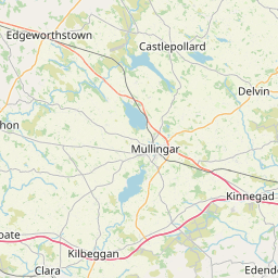
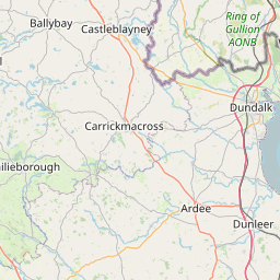
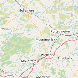
Land not covered by Baronies
Leaflet | Map data © OpenStreetMap contributors
Land covered by 2 (or more) Baronies
No baronies overlap in Contae an Longfoirt in the OpenStreetMap database.