Based on data in OpenStreetMap, here is a list of townlands in the Electoral Division / ED / District Electoral Division of Longford Number 2 Urban.
Longford Number 2 Urban is in Co.
Longford Number 2 Urban is not matched up to Logainm.ie yet.
Léarscáil
It is located at 53° 44' 6" N, 7° 48' 1" W.
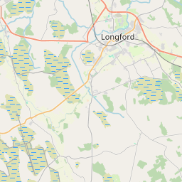
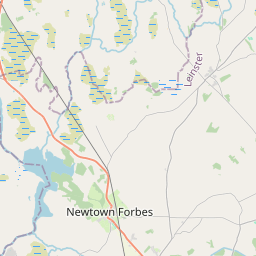
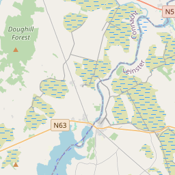
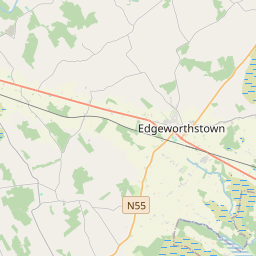
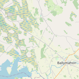
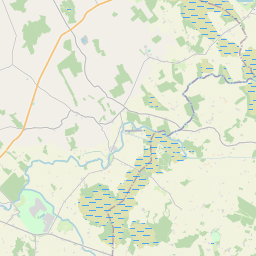
Leaflet | Map data © OpenStreetMap contributors
Achar
Longford Number 2 Urban has an area of 1.7 km² / 408.7 acres / 0.6 square miles.
Ceannbhailte
There is 1 townland that we know about in . This represents 35.5% of all the area in .
- An Diméin 145 A, 0 R, 19 P
 OpenStreetMap
Longford Number 2 Urban was added to OpenStreetMap on 11 Iúil 2013 by PaddyMatthews.
- View
- Edit