Based on data in OpenStreetMap, here is a list of townlands in the Electoral Division / ED / District Electoral Division of Tallanstown.
Tallanstown is in Co.
Tallanstown is not matched up to Logainm.ie yet.
Léarscáil
It is located at 53° 54' 59" N, 6° 34' 32" W.
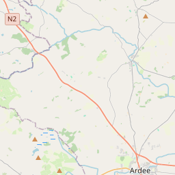
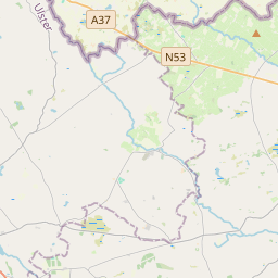
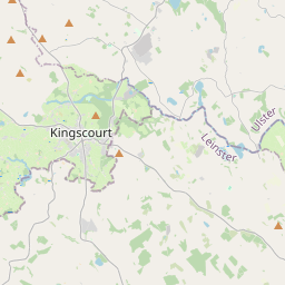
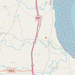
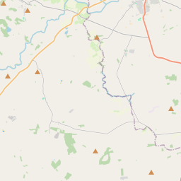
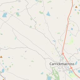
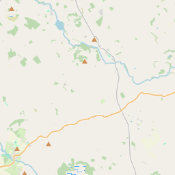
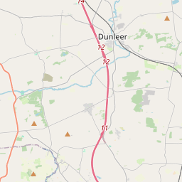
Leaflet | Map data © OpenStreetMap contributors
Achar
Tallanstown has an area of 23.2 km² / 5,729.3 acres / 9.0 square miles.
Ceannbhailte
There are 13 townlands that we know about in . This represents 100% of all the area in .
- Baile Artúir 514 A, 2 R, 15 P
- Baile Artúir Beag 74 A, 1 R, 37 P
- Cabhán Roibeaird 77 A, 3 R, 28 P
- Lios Raithní 844 A, 3 R, 10 P
- Baile an Tallúnaigh 1076 A, 0 R, 0 P
- An Mullach Mór 103 A, 3 R, 0 P
- Nicholastown 504 A, 1 R, 30 P
- Philipstown (E.D. Tallanstown) 196 A, 0 R, 9 P
- Ráth Bodaigh 284 A, 0 R, 29 P
- Rathneestin 633 A, 3 R, 33 P
- Ráth Óraí 227 A, 2 R, 16 P
- Reaghstown 718 A, 2 R, 35 P
- Thomastown 472 A, 2 R, 34 P
 OpenStreetMap
Tallanstown was added to OpenStreetMap on 13 Feabh 2017 by Teester.
- View
- Edit