Based on data in OpenStreetMap, here is a list of townlands in the Electoral Division / ED / District Electoral Division of Westport Urban.
Westport Urban is in Co.
Westport Urban is not matched up to Logainm.ie yet.
Léarscáil
It is located at 53° 47' 54" N, 9° 31' 25" W.
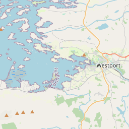
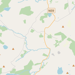
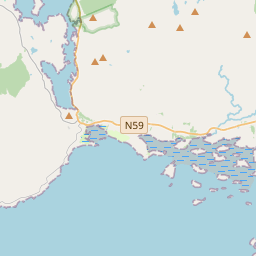
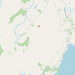
Leaflet | Map data © OpenStreetMap contributors
Achar
Westport Urban has an area of 8.1 km² / 2,007.6 acres / 3.1 square miles.
Ceannbhailte
There are 13 townlands that we know about in . This represents 92.0% of all the area in .
- An tArd Mór 58 A, 0 R, 4 P
- Áit Tí Fhearghais 106 A, 0 R, 10 P
- Boc Bháire 120 A, 2 R, 29 P
- Cathair na Mart 149 A, 3 R, 5 P
- Carrowbaun 237 A, 2 R, 29 P
- An Cheathrú Bheag 118 A, 1 R, 38 P
- Carrownalurgan 215 A, 1 R, 11 P
- Páirc na bhFianna Thoir 133 A, 0 R, 17 P
- Killaghoor 175 A, 0 R, 35 P
- Cnoc Raithní 183 A, 1 R, 39 P
- Maigh Aistín 3 A, 1 R, 34 P
- Westport Demense 301 A, 0 R, 7 P
- Diméin Chathair na Mart 44 A, 1 R, 13 P
 OpenStreetMap
Westport Urban was added to OpenStreetMap on 9 Noll 2016 by Boggedy.
- View
- Edit