Based on data in OpenStreetMap, here is a list of townlands in the Electoral Division / ED / District Electoral Division of Castlerickard.
Castlerickard is in Co.
Castlerickard is not matched up to Logainm.ie yet.
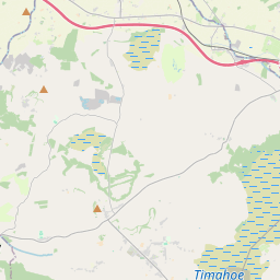
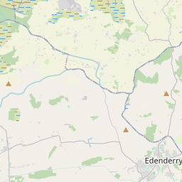
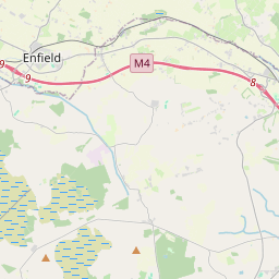
Léarscáil
It is located at 53° 28' 21" N, 6° 55' 42" W.
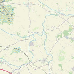
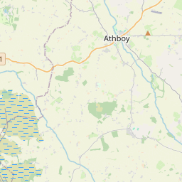
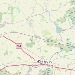
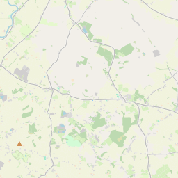


Leaflet | Map data © OpenStreetMap contributors
Achar
Castlerickard has an area of 20.1 km² / 4,957.2 acres / 7.7 square miles.
Ceannbhailte
There are 14 townlands that we know about in . This represents 100% of all the area in .
- Ballinderry 203 A, 0 R, 20 P
- Ballyclare 465 A, 1 R, 2 P
- Baile Uí Mhatháin 235 A, 2 R, 19 P
- Blackditch 159 A, 0 R, 22 P
- An Bhuaile Chaoch 320 A, 1 R, 30 P
- Breacach na Raithní 205 A, 3 R, 38 P
- Casttlerickard 1016 A, 1 R, 2 P
- Deerinlig 150 A, 1 R, 30 P
- Freagh 263 A, 0 R, 16 P
- Lionsden 343 A, 1 R, 12 P
- Longwood 847 A, 3 R, 21 P
- Middleborough 130 A, 1 R, 35 P
- Moneymore 226 A, 1 R, 2 P
- Moyfin 389 A, 3 R, 17 P
 OpenStreetMap
Castlerickard was added to OpenStreetMap on 8 Feabh 2017 by Teester.
- View
- Edit