Based on data in OpenStreetMap, here is a list of townlands in the Electoral Division / ED / District Electoral Division of Kentstown.
Kentstown is in Co.
Kentstown is not matched up to Logainm.ie yet.
Léarscáil
It is located at 53° 37' 30" N, 6° 31' 28" W.
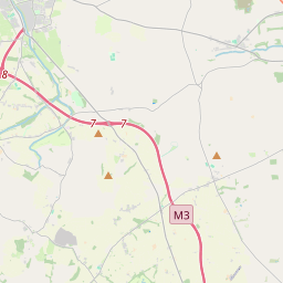
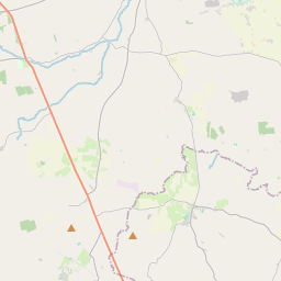
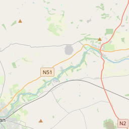
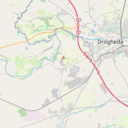

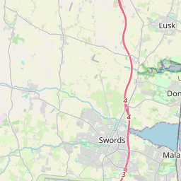
Leaflet | Map data © OpenStreetMap contributors
Achar
Kentstown has an area of 30.7 km² / 7,593.4 acres / 11.9 square miles.
Ceannbhailte
There are 15 townlands that we know about in . This represents 100% of all the area in .
- Ballymagarvey 439 A, 2 R, 13 P
- Balrath 640 A, 3 R, 0 P
- Burtonstown 467 A, 1 R, 18 P
- Curraghtown 354 A, 1 R, 17 P
- Cusackstown 211 A, 2 R, 4 P
- Baile an Dainigh 1189 A, 3 R, 18 P
- Flemingstown 881 A, 2 R, 34 P
- Baile an Cheantaigh 461 A, 3 R, 33 P
- Knockharley 292 A, 1 R, 39 P
- Monktown 1040 A, 1 R, 26 P
- Sicily 444 A, 0 R, 15 P
- Slán Dubh 263 A, 1 R, 27 P
- Tuiterath 204 A, 3 R, 27 P
- Walterstown 360 A, 1 R, 33 P
- Weldonstown 340 A, 1 R, 26 P
 OpenStreetMap
Kentstown was added to OpenStreetMap on 11 Feabh 2017 by Teester.
- View
- Edit