Based on data in OpenStreetMap, here is a list of townlands in the Electoral Division / ED / District Electoral Division of Killeagh.
Killeagh is in Co.
Killeagh is not matched up to Logainm.ie yet.
Léarscáil
It is located at 53° 45' 59" N, 7° 15' 20" W.

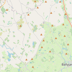
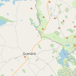
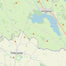
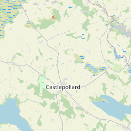
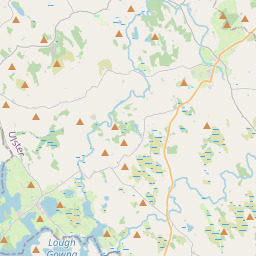
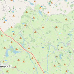
Leaflet | Map data © OpenStreetMap contributors
Achar
Killeagh has an area of 31.6 km² / 7,811.4 acres / 12.2 square miles.
Ceannbhailte
There are 15 townlands that we know about in . This represents 86.0% of all the area in .
- Ballinarink 974 A, 1 R, 39 P
- Baile Mhic Adaigh 549 A, 0 R, 6 P
- Baile na Críche 103 A, 2 R, 30 P
- Ballynagranshy 172 A, 1 R, 32 P
- An Baile Trasna 1535 A, 3 R, 4 P
- Castlecor 384 A, 0 R, 11 P
- Inis Uachtair 5 A, 1 R, 26 P
- Cullendragh 402 A, 0 R, 15 P
- Derrysheridan 133 A, 2 R, 0 P
- Glebe 35 A, 3 R, 27 P
- Halfcarton 297 A, 1 R, 39 P
- Rasillagh 236 A, 0 R, 1 P
- Rathmea 246 A, 1 R, 22 P
- An Ros 983 A, 0 R, 24 P
- Tubrid 661 A, 2 R, 30 P
 OpenStreetMap
Killeagh was added to OpenStreetMap on 10 Feabh 2017 by Teester.
- View
- Edit