Based on data in OpenStreetMap, here is a list of townlands in the Electoral Division / ED / District Electoral Division of Newcastle.
Newcastle is in Co.
Newcastle is not matched up to Logainm.ie yet.
Léarscáil
It is located at 53° 49' 43" N, 6° 54' 14" W.

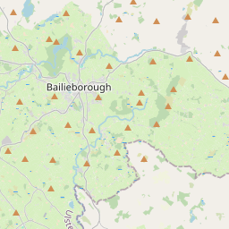
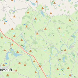
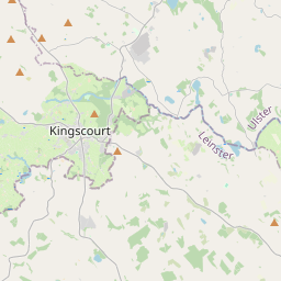
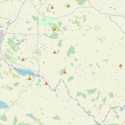
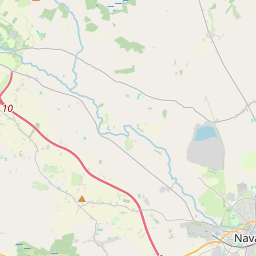
Leaflet | Map data © OpenStreetMap contributors
Achar
Newcastle has an area of 17.7 km² / 4,384.9 acres / 6.9 square miles.
Ceannbhailte
There are 16 townlands that we know about in . This represents 100% of all the area in .
- Carrickspringan 517 A, 3 R, 37 P
- Coolnahinch 305 A, 2 R, 2 P
- Diralagh 297 A, 2 R, 9 P
- Drumaneber 71 A, 1 R, 12 P
- Druminiskin 305 A, 0 R, 30 P
- Feagh 559 A, 2 R, 19 P
- Glebe 21 A, 3 R, 25 P
- Newcastle 474 A, 1 R, 23 P
- Quigelagh 325 A, 1 R, 20 P
- Rathstephen 233 A, 1 R, 16 P
- Screeboge 243 A, 2 R, 36 P
- Skearke 313 A, 3 R, 1 P
- Tullyarran 94 A, 0 R, 9 P
- Tullyattin 216 A, 3 R, 4 P
- Tullypole 233 A, 2 R, 20 P
- Ughtyneill 170 A, 2 R, 28 P
 OpenStreetMap
Newcastle was added to OpenStreetMap on 10 Feabh 2017 by Teester.
- View
- Edit