Based on data in OpenStreetMap, here is a list of townlands in Timoole.
Timoole is in the baronies of Achall.
Timoole is in the counties of Contae na Mí.
Timoole is on Logainm.ie: Timoole.
Léarscáil
It is located at 53° 36' 47" N, 6° 27' 35" W.
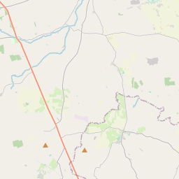
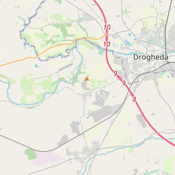
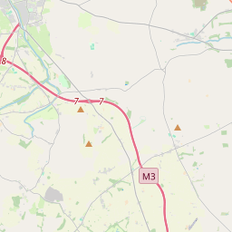
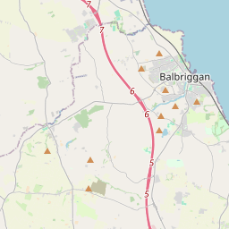
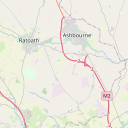
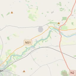
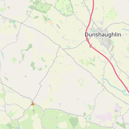
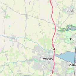
Leaflet | Map data © OpenStreetMap contributors
Achar
Timoole has an area of 4.2 km² / 1,044.2 acres / 1.6 square miles.
Ceannbhailte
There are 4 townlands that we know about in Timoole. This represents 100% of all the area in Timoole.
- Baile Ghileám (Baile Ghileám) , Timoole Paróiste Sibhialta, Barúntacht Achall, Co. Contae na Mí 183 A, 1 R, 12 P
- Baile Ghileám (see Baile Ghileám (Baile Ghileám) , Timoole Paróiste Sibhialta, Barúntacht Achall, Co. Contae na Mí)
- Gallastún (Gallastún) , Timoole Paróiste Sibhialta, Barúntacht Achall, Co. Contae na Mí 64 A, 3 R, 5 P
- Gallastún (see Gallastún (Gallastún) , Timoole Paróiste Sibhialta, Barúntacht Achall, Co. Contae na Mí)
- Irishtown (Rathfeigh), Timoole Paróiste Sibhialta, Barúntacht Achall, Co. Contae na Mí 255 A, 3 R, 12 P
- Timoole, Timoole Paróiste Sibhialta, Barúntacht Achall, Co. Contae na Mí 540 A, 1 R, 8 P
 OpenStreetMap
Timoole was added to OpenStreetMap on 29 Beal 2015 by brianboru.
- View
- Edit