Based on data in OpenStreetMap, here is a list of townlands in the Electoral Division / ED / District Electoral Division of Carrickatee.
Carrickatee is in Co.
Carrickatee is not matched up to Logainm.ie yet.
Léarscáil
It is located at 54° 4' 32" N, 6° 51' 24" W.
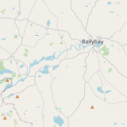
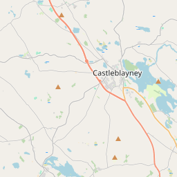
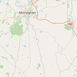
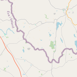
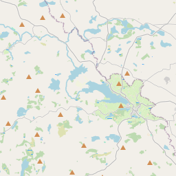
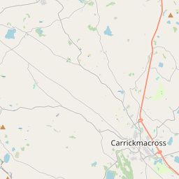
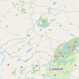
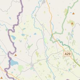
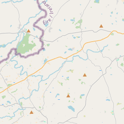
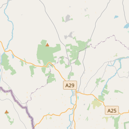
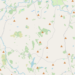
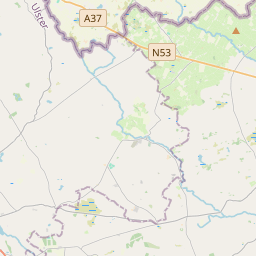
Leaflet | Map data © OpenStreetMap contributors
Achar
Carrickatee has an area of 14.9 km² / 3,673.8 acres / 5.7 square miles.
Ceannbhailte
There are 13 townlands that we know about in . This represents 100% of all the area in .
- Aghakista 258 A, 0 R, 16 P
- Achadh na hÁithe 137 A, 3 R, 37 P
- An Bhreaclaigh 332 A, 1 R, 10 P
- Carraig an Tí 592 A, 3 R, 34 P
- An Chrois Dhubh 213 A, 1 R, 17 P
- Formaoil 308 A, 1 R, 8 P
- An Ghrágarnach 216 A, 1 R, 25 P
- An Leachta Crom 395 A, 3 R, 28 P
- An Lios Dubh 274 A, 3 R, 12 P
- Lorga Chamlocha 220 A, 3 R, 39 P
- Taobh an Léana 235 A, 0 R, 39 P
- Ceathrú an tSosaidh 231 A, 0 R, 20 P
- An Uilleannach 256 A, 1 R, 4 P
 OpenStreetMap
Carrickatee was added to OpenStreetMap on 15 Feabh 2017 by Teester.
- View
- Edit