Based on data in OpenStreetMap, here is a list of townlands in the Electoral Division / ED / District Electoral Division of Creeve.
Creeve is in Co.
Creeve is not matched up to Logainm.ie yet.
Léarscáil
It is located at 54° 4' 39" N, 6° 54' 29" W.
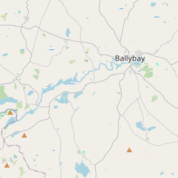
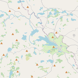
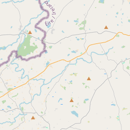
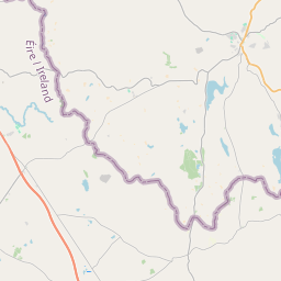
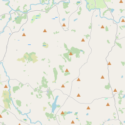
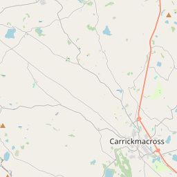
Leaflet | Map data © OpenStreetMap contributors
Achar
Creeve has an area of 25.0 km² / 6,171.7 acres / 9.6 square miles.
Ceannbhailte
There are 22 townlands that we know about in . This represents 100% of all the area in .
- Achadh na Sciadh 161 A, 0 R, 0 P
- An Bheitheach Dhearg 205 A, 0 R, 24 P
- An Charraigeach Bhán 238 A, 3 R, 28 P
- Carn na bhFiach 463 A, 1 R, 31 P
- Coraidh Ghalracht 228 A, 3 R, 26 P
- Carraig an Mheilte 390 A, 0 R, 32 P
- Cluain Troim 262 A, 0 R, 14 P
- An Chorr Liath 286 A, 0 R, 9 P
- Corr Thachairt 334 A, 0 R, 15 P
- An Chraobh 684 A, 1 R, 15 P
- Droim Chríocháin 202 A, 0 R, 23 P
- Droim Gor 332 A, 3 R, 26 P
- Droim Shaileach 133 A, 0 R, 1 P
- An Garraí Bán 162 A, 0 R, 12 P
- An Garraí Dubh 243 A, 2 R, 10 P
- Coill an Chait 294 A, 2 R, 37 P
- An Leacán 332 A, 1 R, 35 P
- Lios Dhroim Cliabh 334 A, 1 R, 8 P
- Mullach na nAllt 217 A, 0 R, 7 P
- Mullanarycortannel 270 A, 0 R, 12 P
- An Rú 170 A, 0 R, 12 P
- An Srath 225 A, 0 R, 8 P
 OpenStreetMap
Creeve was added to OpenStreetMap on 15 Feabh 2017 by Teester.
- View
- Edit