Based on data in OpenStreetMap, here is a list of townlands in the Electoral Division / ED / District Electoral Division of Clóirtheach.
Clóirtheach is in Co.
Clóirtheach is not matched up to Logainm.ie yet.
Léarscáil
It is located at 53° 20' 36" N, 7° 36' 35" W.
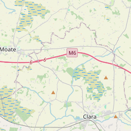
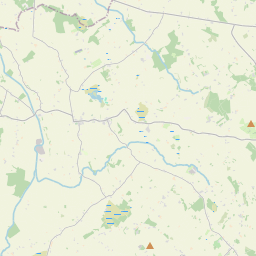
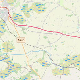
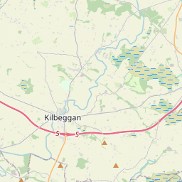
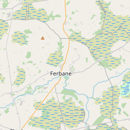
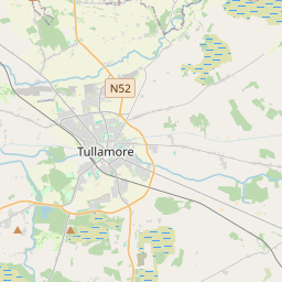
Leaflet | Map data © OpenStreetMap contributors
Achar
Clóirtheach has an area of 30.1 km² / 7,444.9 acres / 11.6 square miles.
Ceannbhailte
There are 18 townlands that we know about in . This represents 100% of all the area in .
- Achadh Mór 132 A, 0 R, 4 P
- Baile Mhic Mhaoilir 114 A, 0 R, 34 P
- Baile Mhic na hOíche 328 A, 0 R, 8 P
- Béal Átha Bóchluana 104 A, 1 R, 32 P
- Baile Giolla Chroise 76 A, 0 R, 39 P
- Ceapaigh na Moiréadach 29 A, 3 R, 21 P
- Clóirtheach 502 A, 1 R, 6 P
- An Currach Buí 621 A, 1 R, 4 P
- Oiridh (Armstrong) 1392 A, 0 R, 27 P
- Oiridh (Maryborough) 1287 A, 1 R, 8 P
- Cill Bhríde 146 A, 2 R, 30 P
- Coill an Choillín 53 A, 3 R, 18 P
- Cill Chuairsí 394 A, 2 R, 0 P
- Coill Mhic Luain 593 A, 1 R, 13 P
- Coill na Binne 139 A, 2 R, 16 P
- An Leithinse 241 A, 3 R, 8 P
- Lios an Uisce 631 A, 1 R, 6 P
- An Ráithín 655 A, 3 R, 23 P
 OpenStreetMap
Clóirtheach was added to OpenStreetMap on 29 Samh 2014 by Teester.
- View
- Edit