Based on data in OpenStreetMap, here is a list of townlands in the Electoral Division / ED / District Electoral Division of Ráth Roibín.
Ráth Roibín is in Co.
Ráth Roibín is not matched up to Logainm.ie yet.
Léarscáil
It is located at 53° 11' 22" N, 7° 35' 7" W.
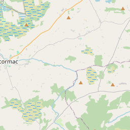
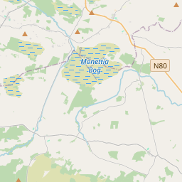
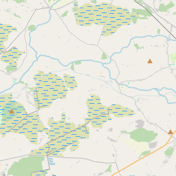
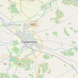
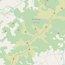
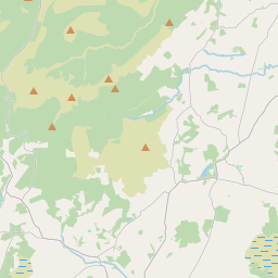
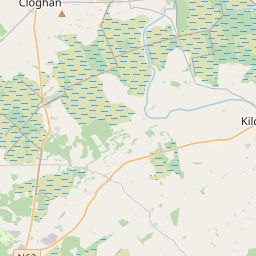
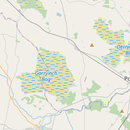
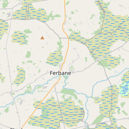
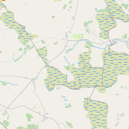
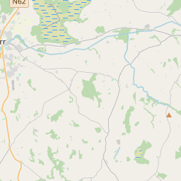
Leaflet | Map data © OpenStreetMap contributors
Achar
Ráth Roibín has an area of 23.5 km² / 5,816.0 acres / 9.1 square miles.
Ceannbhailte
There are 12 townlands that we know about in . This represents 100% of all the area in .
- Eanach Breac 857 A, 0 R, 15 P
- Eanach Mór 872 A, 2 R, 7 P
- Baile an Cheantaigh 539 A, 3 R, 31 P
- Cluain Dónaill 139 A, 2 R, 14 P
- Cluain Saor 131 A, 3 R, 33 P
- Cluain Seannach 499 A, 1 R, 34 P
- An Chúil Dorcha 278 A, 1 R, 7 P
- An Chorr Mhín 156 A, 3 R, 2 P
- Gort an Churraigh 450 A, 0 R, 32 P
- Coill an Eanaigh 621 A, 2 R, 27 P
- Cill Achaidh 262 A, 1 R, 15 P
- Ráth Roibín 1006 A, 0 R, 25 P
 OpenStreetMap
Ráth Roibín was added to OpenStreetMap on 23 Noll 2014 by Teester.
- View
- Edit