Based on data in OpenStreetMap, here is a list of townlands in the Electoral Division / ED / District Electoral Division of Tigh na Muc.
Tigh na Muc is in Co.
Tigh na Muc is not matched up to Logainm.ie yet.
Léarscáil
It is located at 53° 21' 4" N, 7° 40' 51" W.
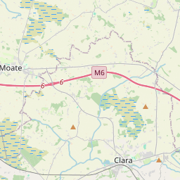
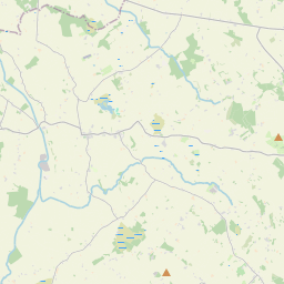
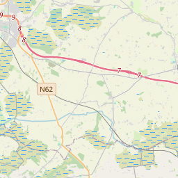
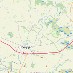
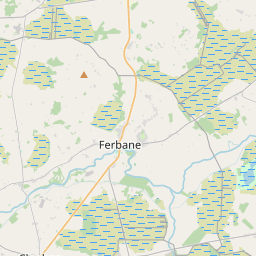
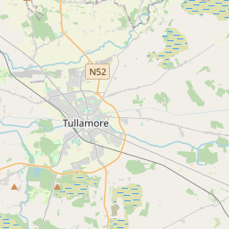
Leaflet | Map data © OpenStreetMap contributors
Achar
Tigh na Muc has an area of 13.8 km² / 3,411.5 acres / 5.3 square miles.
Ceannbhailte
There are 12 townlands that we know about in . This represents 100% of all the area in .
- Buaile Airt Thuaidh 72 A, 2 R, 34 P
- Buaile Airt Theas 301 A, 1 R, 14 P
- Tulchán na Bruíne 604 A, 2 R, 21 P
- Greanach Salach 373 A, 0 R, 9 P
- An Garraí Dubh 182 A, 2 R, 25 P
- Cill Mhancháin 462 A, 2 R, 31 P
- An Cipín Dubh 101 A, 3 R, 13 P
- Seanbhaile na Cille 48 A, 0 R, 21 P
- Tigh na Muc Thoir 412 A, 2 R, 2 P
- Tigh na Muc Theas 198 A, 0 R, 32 P
- Tigh na Muc Thiar 503 A, 1 R, 16 P
- Wilton 150 A, 1 R, 14 P
 OpenStreetMap
Tigh na Muc was added to OpenStreetMap on 28 Samh 2014 by Teester.
- View
- Edit